Dream Loop Pfalzblick

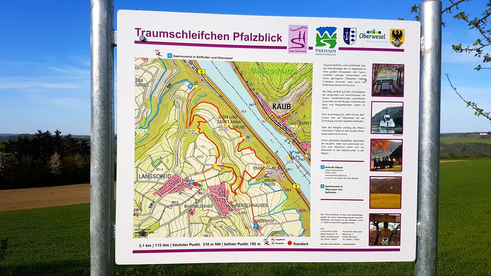
The dream loop Pfalzblick runs on the high plateau near Langscheid and Henschhausen with...

Dream loops are certified walking-hiking trails that, unlike their larger sisters, the dream loops, have fewer elevation meters and a lower path percentage. Nevertheless, the moments of experience are not lacking.

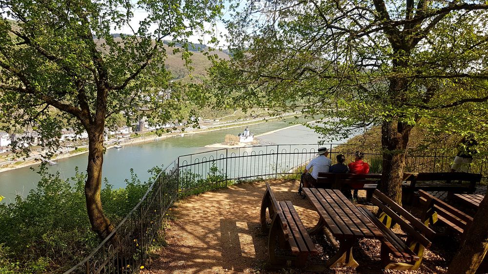
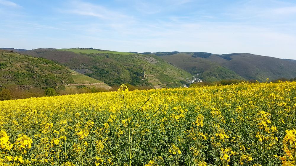
The path runs on the high plateau near Langscheid and Henschhausen, offering recurring grand views of the Gutenfels Castle near Kaub and Pfalzgrafenstein in the middle of the Rhine.

From the viewpoint 'Uff'm hinner Beil', one looks over Oberwesel with the Schönburg and the district of Dellhofen.

Information boards at the mines Rhein, Josef, and St. Anna provide insights into mining along the Rhine.

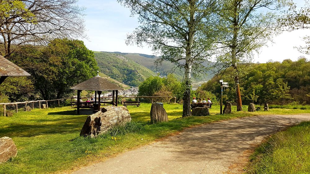
Beautifully designed resting places, especially at Sauzahn, invite you to have a picnic. And to conclude, a detour to the local gastronomy is worthwhile.

The Dream Ribbons

All dream ribbons in the Hunsrück-Nahe region
Length
approx. 10 km
Duration
approx. 1 hrs
Difficulty
1/3
Fitness
2/6
Experience
5/6
Landscape
5/6
Ascent
115 m elev.
Descent
139 m elev.
Season recommendation
Jan
Feb
Mar
Apr
May
Jun
Jul
Aug
Sep
Oct
Nov
Dec
Scenic Resting opportunity Circular tour From A to B family-friendly geological highlights
Traumschleifchen Pfalzblick ala4rw
Traumschleifchen Pfalzblick 3wae8s
Traumschleifchen Pfalzblick wk5geq
Traumschleifchen Pfalzblick i65pmz
Traumschleifchen Pfalzblick ftanz8
Traumschleifchen Pfalzblick m714fi
Traumschleifchen Pfalzblick 1ks2q6
Traumschleifchen Pfalzblick gq7vg
Traumschleifchen Pfalzblick 7p0d5x
Traumschleifchen Pfalzblick 7yyumh
Traumschleifchen Pfalzblick cgq91i
Traumschleifchen Pfalzblick yga9b9
Traumschleifchen Pfalzblick g8sm30
Traumschleifchen Pfalzblick g8oc4f

Additional information

A short access path from the parking lot at the community center in Langscheid leads to the start. The circular route goes clockwise past various viewpoints.
Suitable footwear (no flip-flops) should be chosen even for walking-hiking trails.
Those who want to extend the short loop can hike along the Rhine Heights Trail towards Oberwesel or Bacharach.

More information & GPX download

In the tour planner you will find all further information, e.g. on route changes, closures or diversions, as well as the GPX file for download.

To the tour planner (www) Download GPX


You might also be interested in