


Vital Tour Rheingrafenstein - Forest, Open Space, Pure Nature
Through valuable nature reserves, it goes through sometimes light, sometimes dense forests, to a castle ruin,...
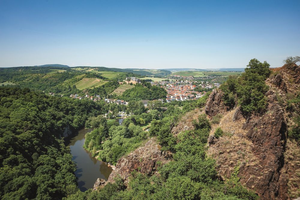
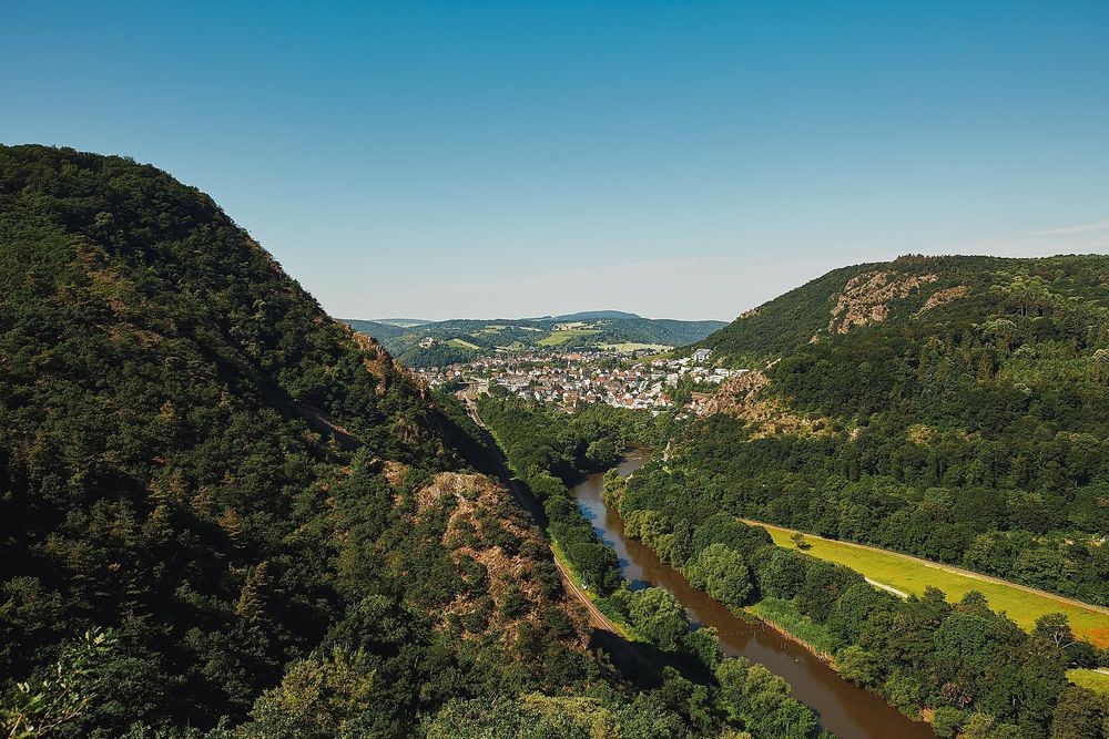
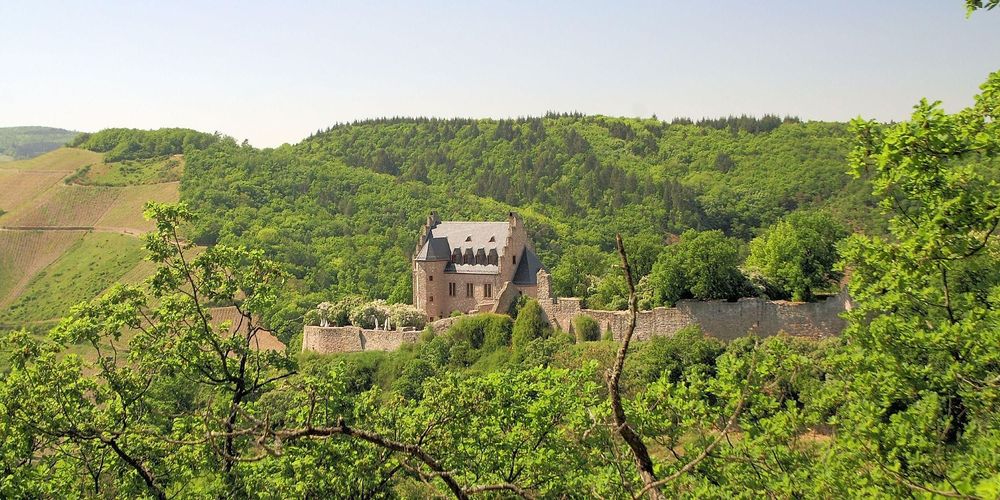
For this tour with two ascents, you should take a day. It leads - clockwise - initially through dense mixed forest, which often opens up to clearings and open passages. A landmark is the Altenbaumburg, where there is also an inn. The serpentine path down into the Nahe Valley is rustic and offers many distant views into the Nahe mountain region, through which the river winds. Almost arriving in the river valley, we dive into a dense forest path that leads us to Tanneck. Oak-beech forest, mixed with coniferous trees, shapes the landscape. The path meanders in large loops uphill to a T-junction at a wide forest road. We continue on a hollow path to a rocky path, which again offers spectacular views into the Salinental between Bad Kreuznach and Bad Münster am Stein. Steeply uphill we go - to the highest point - the Gans. Once again, you can enjoy distant views of the volcanic massif until you return through forest and meadows to the viewpoint.
All Vital Tours
Between Nahe and Hunsrück
Length
approx. 18 km
Duration
approx. 6 hrs
Difficulty
Fitness
Experience
Landscape
Ascent
412 m elev.
Descent
412 m elev.
Season recommendation
Jan
Feb
Mar
Apr
May
Jun
Jul
Aug
Sep
Oct
Nov
Dec

Additional information
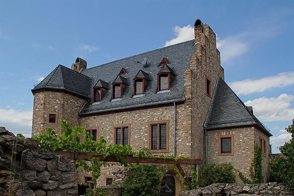
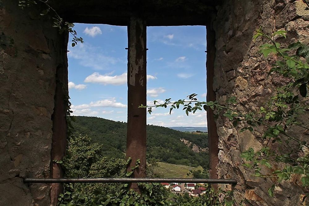
From the starting point, we walk clockwise initially in the barbecue area parallel to a road that branches off to the left from the straight 'Panzerstraße'. The entire area was for many decades a training ground for the US Army with recreational areas. After a few hundred meters, we reach a fenced area - an abandoned Army campsite. Here we enter the road that branches off immediately to the right. An asphalt road leads us to the Forsthaus Spreitel. There it turns into a forest path, which we follow straight past the Neuen Waldheim - an inn. The forest path in the dense oak-beech forest continues further south until we reach open land with a view of Frei-Laubersheim. The path turns right, does not lead down into the valley, but runs along the edge of the forest until it dives back into the forest after about 600 meters. We come across a wider forest path, which we follow left to the Bismarck-Hütte - a walled shelter. From there, an increasingly narrow path leads towards Altenbaumburg. Our hiking trail branches off sharply to the right towards Uhufels after one kilometer, just before the castle. The castle is another 400 meters further, reached via a wooden bridge. After visiting the ruins and taking a break, you must return the same way to the hiking trail. This winds down into the Nahe Valley and offers beautiful viewpoints again and again - particularly striking at the Uhu-Fels. Always following the path, which crosses a road twice, we reach the Ebernburg campsite, cross the road, and keep right; at the next fork, we follow the left path above the campsite. Initially, it goes through meadowland, then through a piece of forest with another viewpoint. We finally reach the Huttental, where after a short ascent towards the castle ruins, we sharply turn right and wander in large meandering paths around the idyllic Haidberg - once a Celtic hill settlement. We finally reach a T-junction, where we keep right - while the left path would lead us again to the ruins. On the wide path, we walk about 500 meters until we, before reaching the observatory, turn left into a narrow path that initially leads through a small birch forest, then into a rustic hollow path. From there, we reach a rocky path, where we keep right upwards. The path to the left is closed. This serpentine path winds steeply upwards, it is narrow and often covered with rubble. A very nice viewpoint is the Zwei-Bäder-Blick towards Salinental and Bad Münster. Geological features are lime block scree slopes that formed during the Ice Age. Upon reaching the top, we find ourselves at the highest point of the circular hike - the Gans at 321 meters. Here, the landscape in the nature reserve is characterized by Mediterranean flora and fauna - e.g., by rock maple and dwarf oaks. We now walk along the mountain edge for several hundred meters, enjoy the panoramic views into the Nahe mountain region, and then turn right again into light mixed forest. The path now leads us straight to a large orchard on a slope. Here we walk along the upper edge of the meadow and come across a road at the Hofgut Rheingrafenstein. We cross this and walk in the meadowland with distant views back to Rheinhessen in a large arc to the starting point.
Rocky passages require sure-footedness. They may also be covered with rubble in sections. In the early summer months, the warning notice from the Federal Ministry is a source of danger and should not be touched. From noon onwards, especially the hillside paths are strongly sunlit and it can get very hot.
Sturdy footwear, sun and rain protection, sufficient drinking water, and provisions should be carried.
Inns are located at the Altenbaumburg and in the Neuen Waldheim along the route. On weekends, there is also a snack bar and drinks in the courtyard of the Rheingrafenstein Castle, sometimes with music. The recreational area at the start and finish offers barbecue areas - ideal for a cozy conclusion. On the hiking trail, there are two places where you can make a detour to the ruins of Rheingrafenstein (a few hundred meters of access), which is not on the certified hiking trail itself. At the castle ruins, there is a viewing platform carved into the rock. At the lowest point in the Huttental, you can take a ferry to the spa park Bad Münster from April to October during the day.
More information & GPX download
In the tour planner you will find all further information, e.g. on route changes, closures or diversions, as well as the GPX file for download.