


Vital Tour Eremitenpfad - THE OFFICIAL ROUTE DESCRIPTION!
Discover the unique nature, history, and stories surrounding the Rock Hermitage...
All Vital Tours
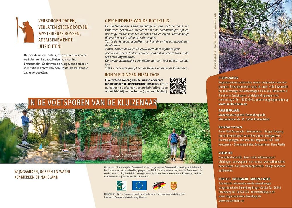
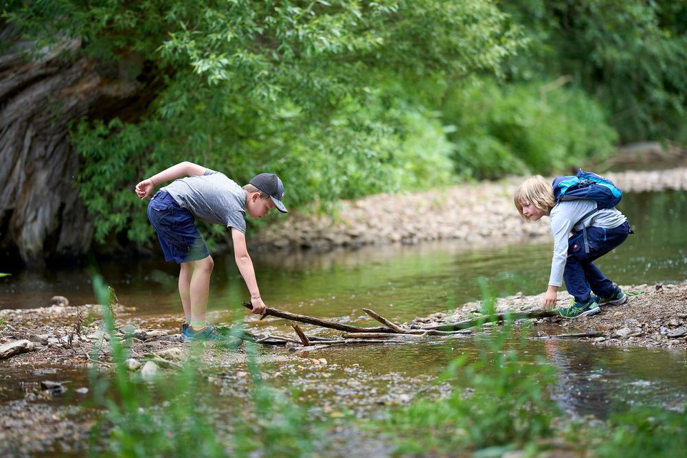
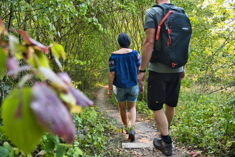
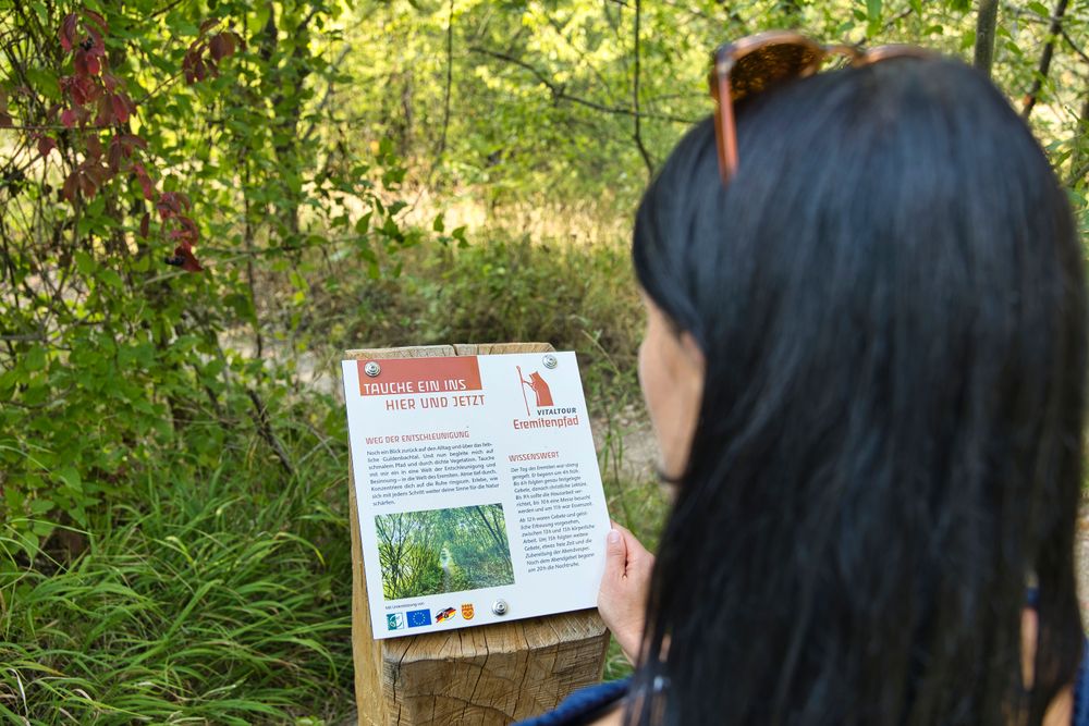

Additional information
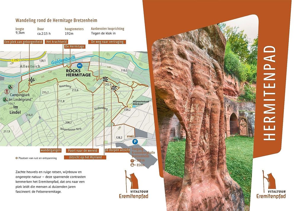
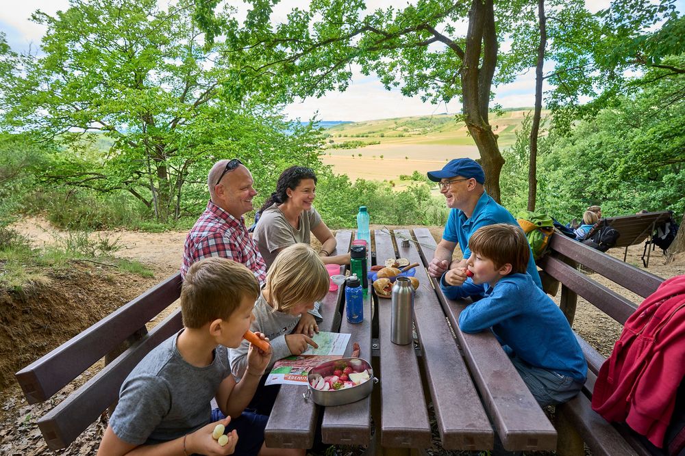
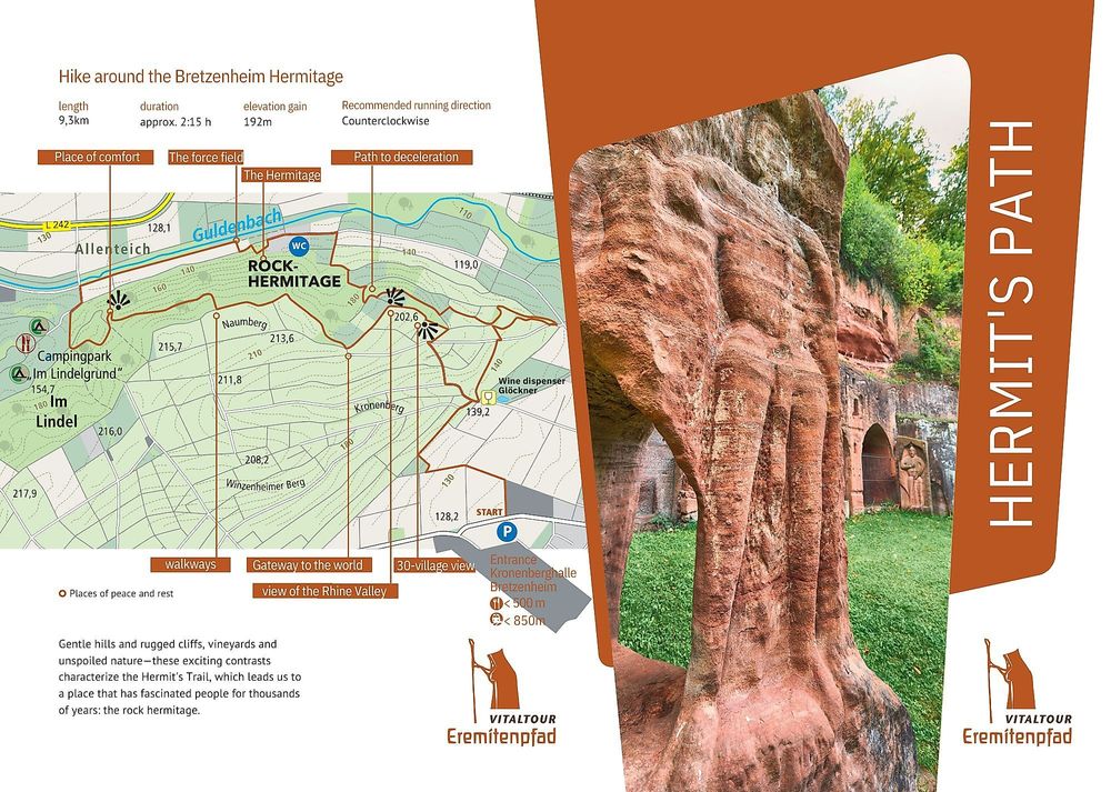
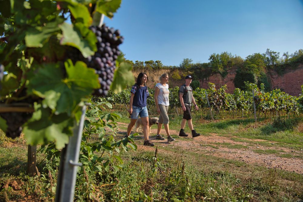
We cross the road and are already on the access path, which initially takes us through fields and then gently uphill through vineyards. On a grassy path along the edge of the old quarry, we go slightly downhill between bushes and vineyards until just before a field cross. Here, the path branches off to the left. After 300 m, we turn left again at a sharp angle and through a small forest with a closed canopy, we soon reach the first highlight of the hike. Here, the old Bretzenheim quarry presents itself, and a seating area invites us to take our first break. Early in the morning, when the rising sun casts its first light and bathes the quarry in glowing light, the hiker can enjoy this grand spectacle. Along a red sandstone wall, we circle a vineyard before ascending alongside a pasture fence via steps. Once at the top, we keep to the right. Galloway cattle and sheep accompany us as we enjoy the magnificent views into the Guldenbachtal. After leaving the natural, joint-friendly grassy paths behind us, we turn left and descend via a narrow, steep path with over 22 steps through dense underbrush down to the buildings of the homeless assistance of the Kreuznacher Diakonie. From April to early October, the residents of Café Löwenzahn treat all guests to delicious coffee and cake. There is also a toilet... if it happens to be closed, feel free to ask one of the residents for assistance.
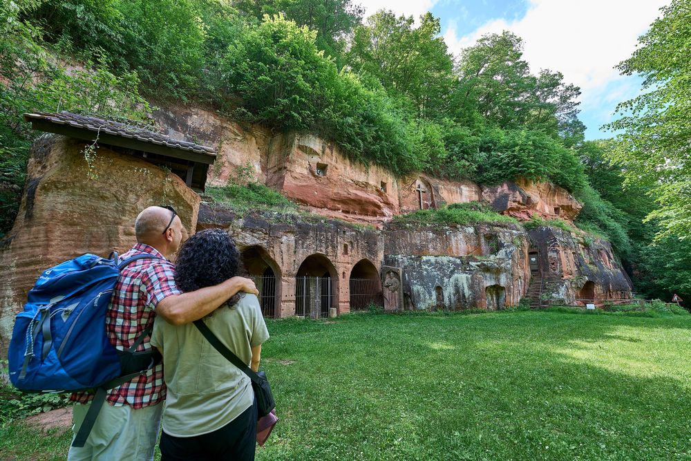
Behind the last building, the former hunting lodge of the Puricelli family, we keep half left. After just a few meters, we stand before the impressive rock hermitage, which was home to hermits and monks for centuries. Experts from the state archaeological office describe this site as a unique monument north of the Alps. If the red rock walls could talk, they would take us back to the time when the first hermits, starting in the 7th century, painstakingly worked the red sandstone with hammer and chisel to create living quarters and church space. Here, we let the mystique of this place wash over us in peace and quiet before continuing our path along a flat dam beside the Guldenbach. To our left, after a few minutes, we discover the remains of a hermit's cell carved into the red sandstone in the 300 m long bizarre rock wall.
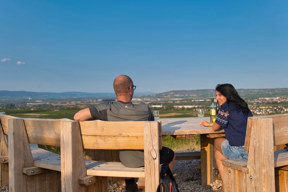
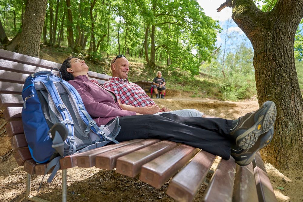
Just before the Lindelgrund campsite, where a restaurant also offers us hikers a place to stop, we turn left into the forest (Lindel). We reach another resting place with a magnificent view of the famous wine village of Guldental. After the ups and downs on narrow paths through the rustic vegetation of the Lindel with its gnarled oaks and old beeches, we keep to the left. After 300 m on an access road between the edge of the forest and vines, we descend again into dense forest. And suddenly, we find ourselves in open countryside. Almost blinded by the bright light, we are welcomed at the Rheinhessen viewpoint by the vastness of the boundless vineyards. Here, we again keep to the left and, after five minutes, stand on a fairy-tale viewing terrace with unique distant views into the Rheingau and Rheinhessen. A grand landscape cinema! An impressive, semi-circular seating area invites us to rest and taste a good Bretzenheim wine. The Niederwalddenkmal, Eibingen Monastery, and Rochus Chapel greet us from afar. The view sweeps over the North Palatinate mountains to Donnersberg and further over the Kreuznach city forest, the hiking area Rotenfels, all the way to Lemberg, the highest elevation between the middle and lower reaches of the Nahe.
After another 150 m, we take one last look over Bretzenheim and the Bad Kreuznach Salinental. Those who look closely can count around thirty villages peeking out between the vineyards. Here, we leave the height via a steep grassy path and turn back towards the Kronenberghalle.
TIPS:
- From May 4, 2024, the Café Löwenzahn at the homeless assistance Hermitage, just before the historical rock hermitage, will be open from 2:00 PM to 5:00 PM every Saturday and Sunday.
- Catering options along the route: Bistrorante II Trenino (Campingpark Lindelgrund), opening hours: see notice board, groups with prior registration 0176 83429701, info@trenino.de
- Along the route, there is a wineomat, operated by the Arnold Glöckner winery - https://weingut-gloeckner.de/
- A WC facility is available on the premises of the homeless assistance of the Hermitage, Eremitagerweg 2111 - just before the historical rock hermitage - it is always open.
-
Further catering options in Bretzenheim, including pizzeria, Greek, kebab, wine tavern, café – overview at www.bretzenheim.de
- We are happy to arrange tours at the Historical Rock Hermitage: Fixed tour dates from May to September every second Sunday of the month at 2:00 PM (registration required) and 4:00 PM (open tour) please contact the tourist information Langenlonsheim-Stromberg, Tel. 06724 - 274 or touristinfo@vg-ls.de
And because we have been asked often: The Historical Rock Hermitage is absolutely impressive even from the outside. The rock dwelling carved into the stone is in need of renovation and can no longer be visited, as that would simply be irresponsible. The rock is crumbling and will eventually collapse if we cannot raise the necessary funds. We would very much like to renovate the site, but we lack the immensely high funds for it. So that you can at least visit the dwelling virtually, we are currently preparing a 3D tour.
And what is also important to us:
- Environmentally conscious hikers take their trash back with them, thus ensuring a clean landscape.
- To protect wildlife, dogs must be kept on a leash throughout the entire hiking route.
- It goes without saying that the entire Hermit Path is off-limits to riders.
- There are deliberately no benches along the Guldenbach, as the dam must remain free of structures for flood protection.
More information & GPX download
In the tour planner you will find all further information, e.g. on route changes, closures or diversions, as well as the GPX file for download.