


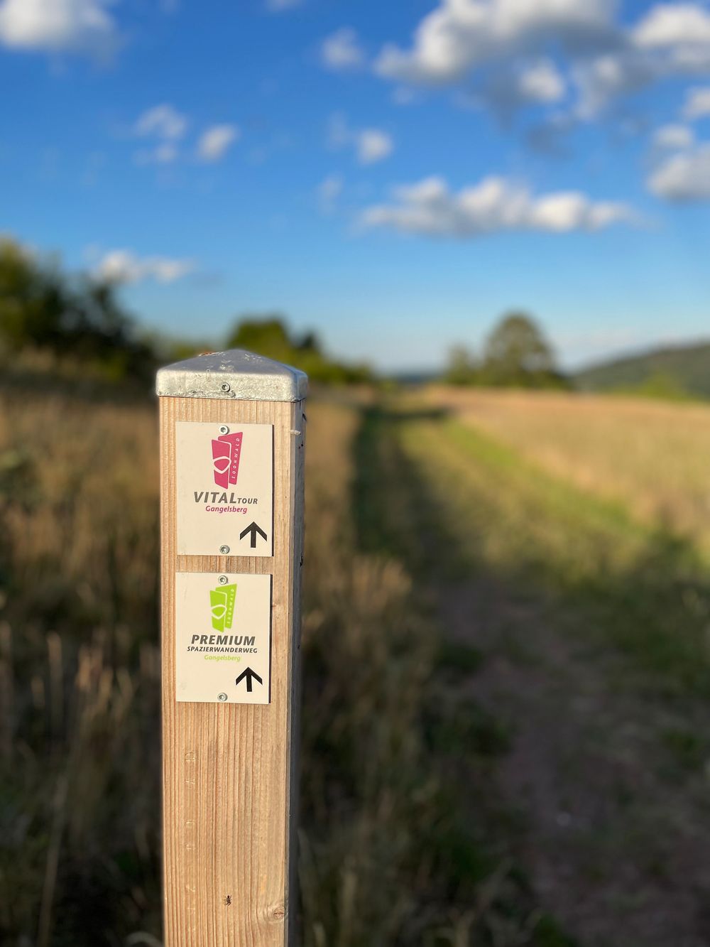
The German Hiking Institute rated the premium path with an excellent 80 experience points!
Vitaltour Gangelsberg
A circular tour that brings a sense of adventure through its diverse views.
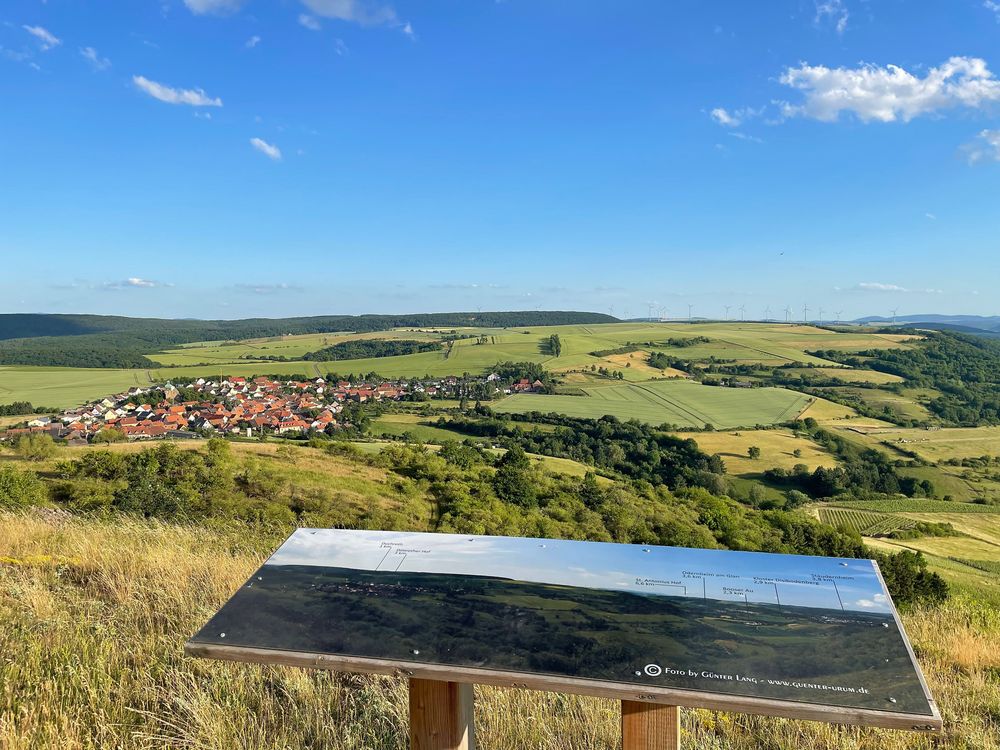
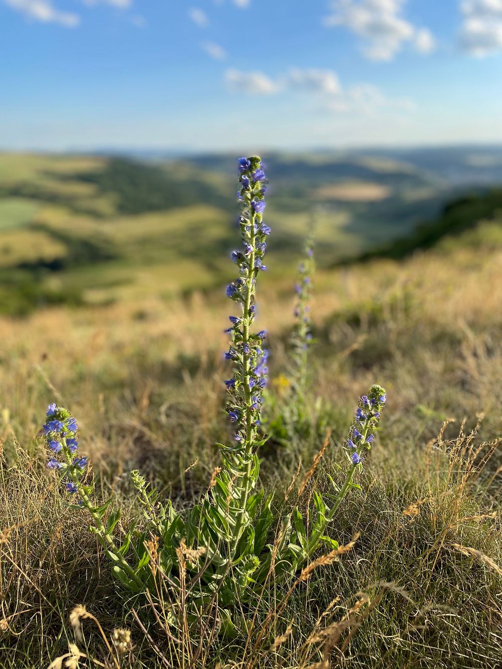
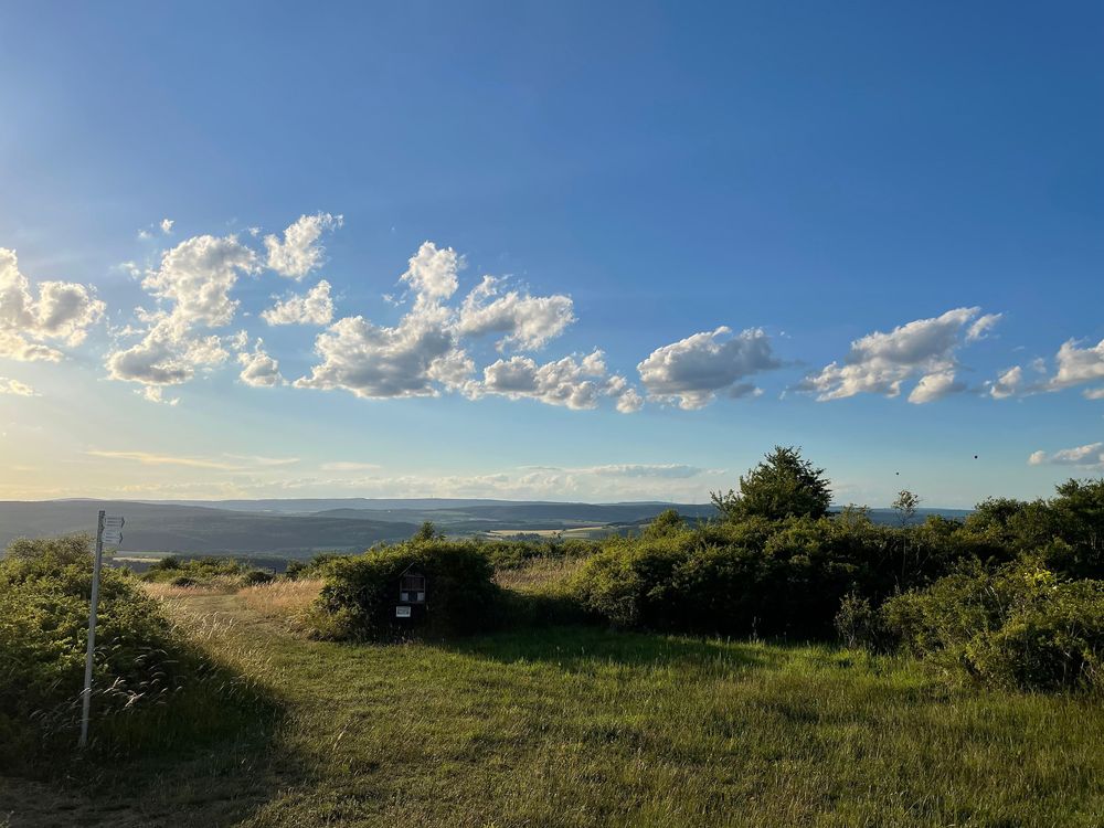
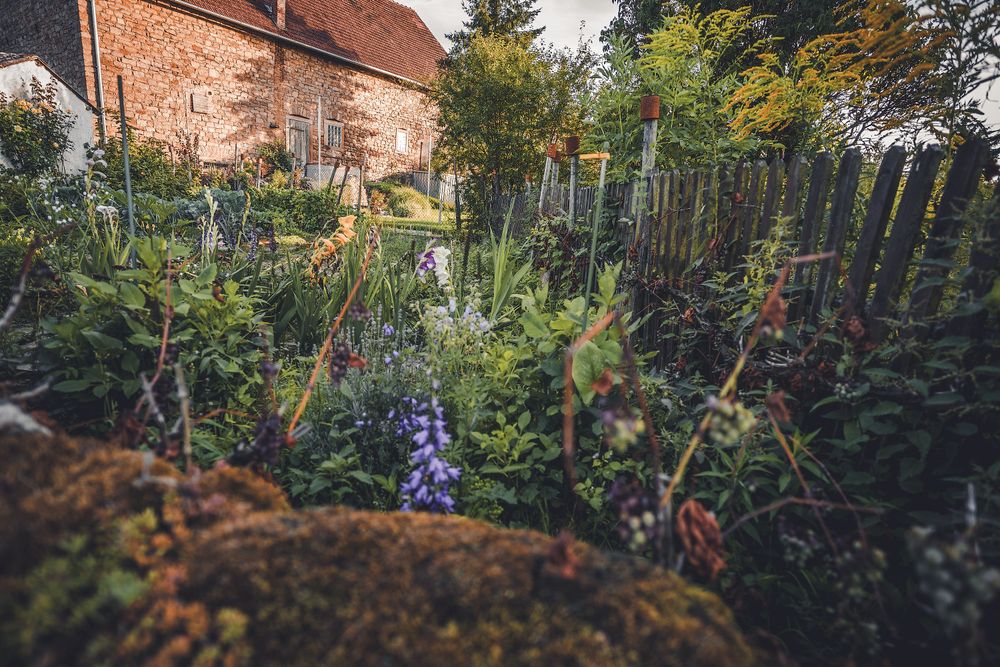
This path offers magnificent panoramic views of the Soonwald, Taunus, and North Palatine Uplands, as well as deep views into the valleys of Nahe, Glan, and Hagenbach. It connects the valuable dry grassland and rock biotopes of the region with its rich biodiversity of rare flowering plants and butterflies. The path largely runs through an open, sunlit landscape characterized by both cultivated and abandoned vineyards.
All Vital Tours
Between Nahe and Hunsrück
Length
approx. 15 km
Duration
approx. 4 hrs
Difficulty
Fitness
Experience
Landscape
Ascent
335 m elev.
Descent
340 m elev.
Season recommendation
Jan
Feb
Mar
Apr
May
Jun
Jul
Aug
Sep
Oct
Nov
Dec
Additional information
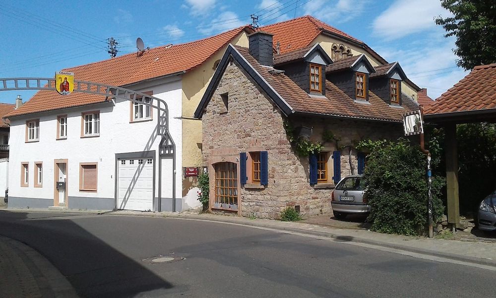
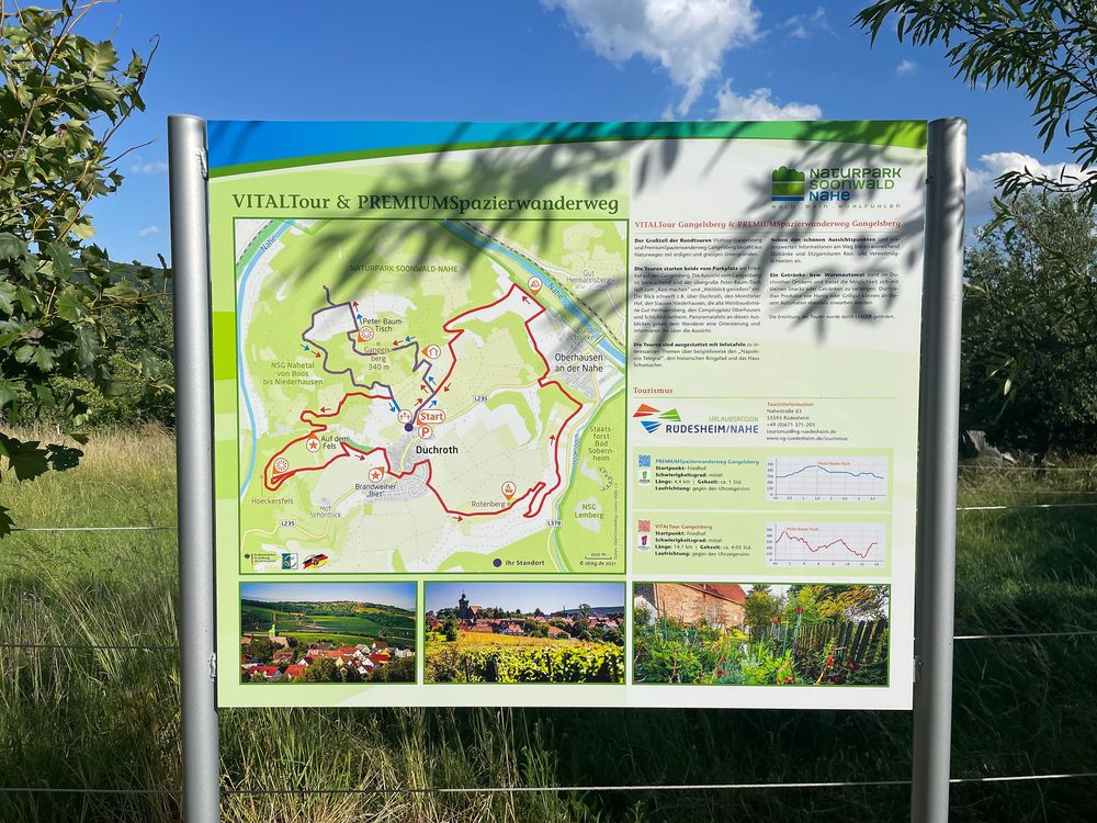
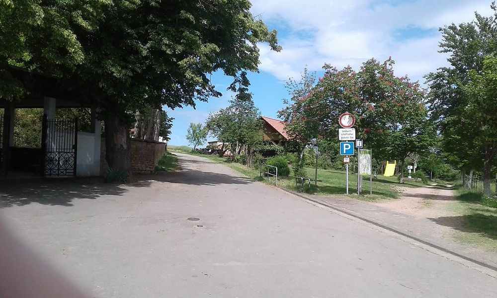
The path takes you around Duchroth, past Oberhausen, leading to breathtaking views, including from Gangelsberg. Let the idyllic nature of the region around the romantic wine village convince you. Information and panoramic boards will inform you about the special features of the flora and fauna.
Please check current trail information such as closures and notices under 'Current Info' before your hike.
Sturdy footwear and packed snacks. You can supply yourself with a drink or regional products at a vending machine in the town center.
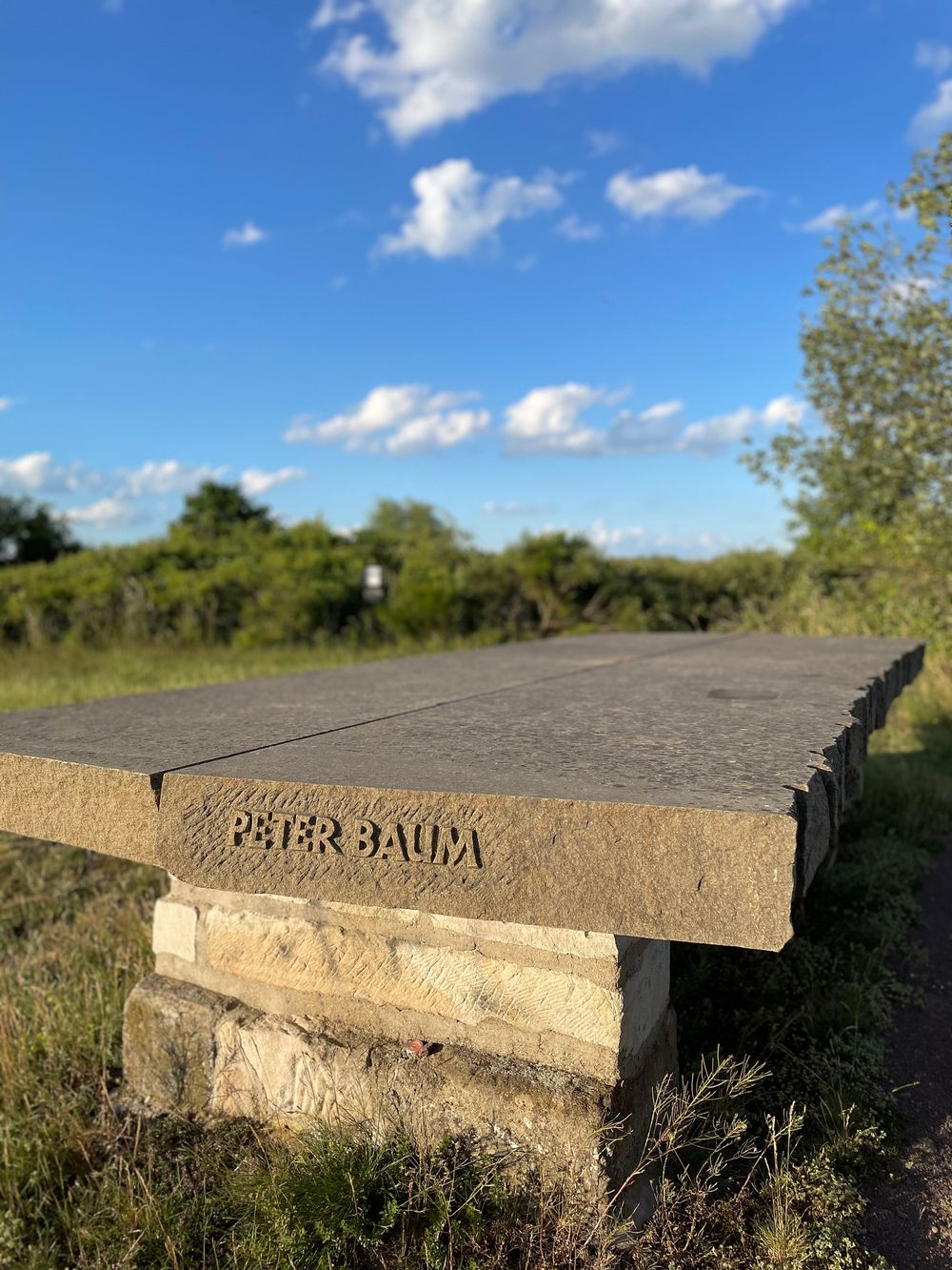
The view from Gangelsberg with the giant Peter Baum table is unique!
More information & GPX download
In the tour planner you will find all further information, e.g. on route changes, closures or diversions, as well as the GPX file for download.