Vital Tour Rock Garden

The circular hiking trail through the area "Felsengarten" impresses with its landscape contrasts and...

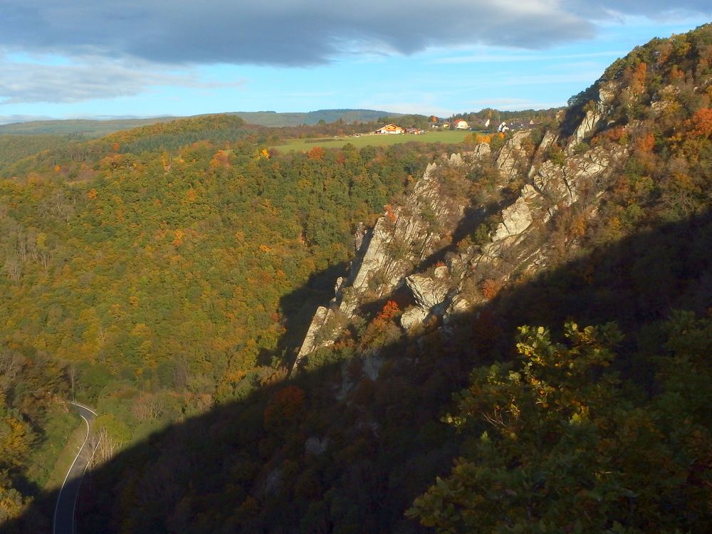
The name of the trail refers to the rugged, wildly jagged rock formations of the lower Kellenbach Valley, combined with an exceptionally diverse, partly very rare community of fauna and flora.

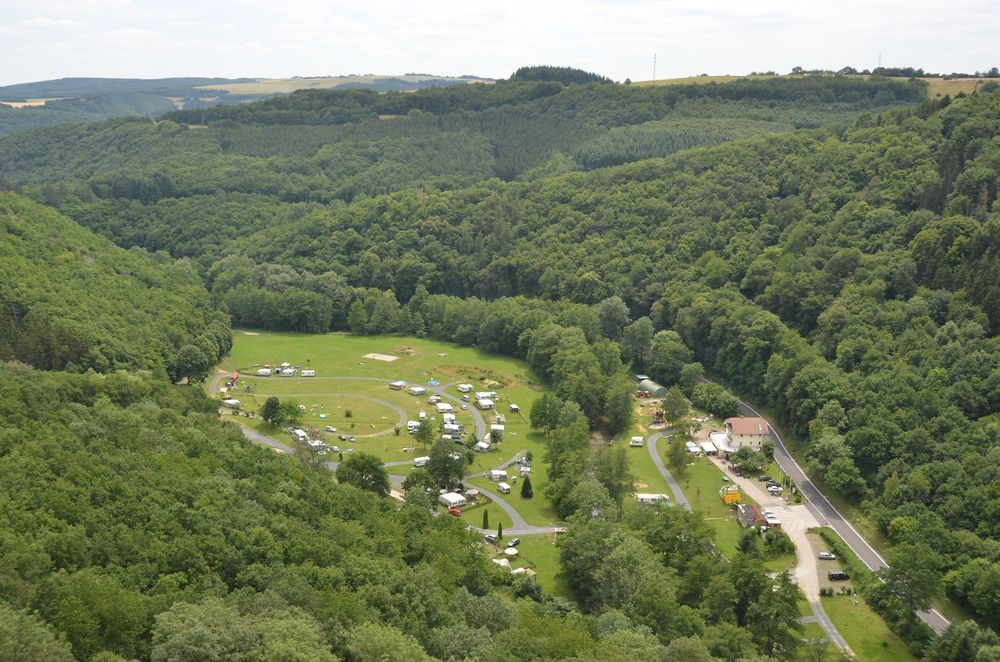
The Vital Tour 'Felsengarten' offers both expansive panoramic views of the hiking region along the Nahe and a small-scale, richly structured landscape. The section of the trail 'Felsengarten' is particularly noteworthy, as it is unique in Rhineland-Palatinate due to its geology, flora, and fauna.
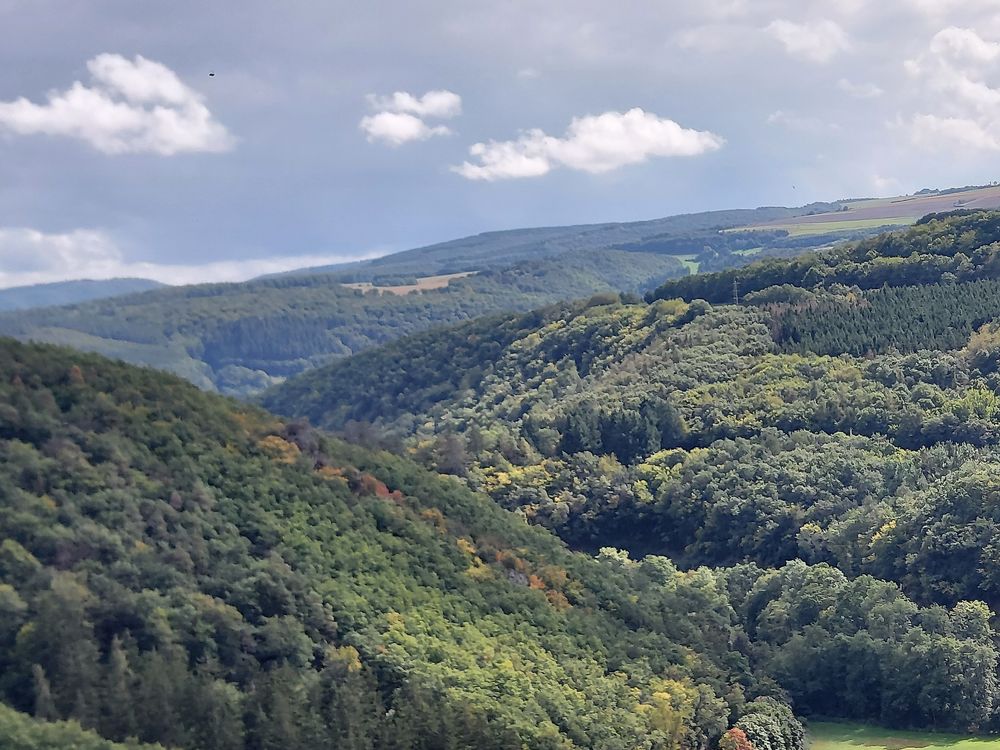
Through the clever route design, it provides the hiker with breathtaking insights into the deeply incised, rugged Kellenbach Valley as well as into the gently shaped valley of the Nahe over a short distance. The view can almost endlessly wander over the mighty, forested ridges of the Hunsrück. In no less impressive fashion, the hiker has at their feet the gently rolling, predominantly agricultural North Palatine Uplands with the towering Donnersberg.

The German Hiking Institute rated the premium trail with 69 experience points!

All Vital Tours

Between Nahe and Hunsrück
Length
approx. 10 km
Duration
approx. 4 hrs
Difficulty
2/3
Fitness
4/6
Experience
5/6
Landscape
6/6
Ascent
325 m elev.
Descent
325 m elev.
Season recommendation
Jan
Feb
Mar
Apr
May
Jun
Jul
Aug
Sep
Oct
Nov
Dec
Scenic Resting opportunity Fauna Flora Circular tour geological highlights
Vitaltour Felsengarten v7j2yk
Vitaltour Felsengarten v11t9x
Vitaltour Felsengarten 1jynoo
Vitaltour Felsengarten qus9du
Vitaltour Felsengarten xcgu3f
Vitaltour Felsengarten b8mffq
Vitaltour Felsengarten d0n3dt
Vitaltour Felsengarten h3abpm
Vitaltour Felsengarten c6wacy
Vitaltour Felsengarten c7g8ys
Vitaltour Felsengarten vg1kzx
Vitaltour Felsengarten gonzpf
Vitaltour Felsengarten 5cqrs6

Additional information

The hike begins at the oldest town hall in the Nahe region, the historic town hall of Simmertal from 1499. Today, the municipality houses a natural history museum in the town hall, featuring a paleontological collection from the Hunsrück-Nahe area. We walk past old fruit tree groves and small gardens of the Apfelbach Valley and reach a shady, richly structured forest on our way. Passing an old quarry where volcanic rock was once extracted, we are rewarded with a unique panoramic view over the Nahe region upon reaching Braunenberg. Along a hedgerow populated by songbirds, beautiful views of the landscape unfold before us. At Habichtskopf, we reach the highest viewpoint at 425 m.

At the Randhahn's Ruh hiking parking lot, we cross the Apfelbach on our hiking path and follow the boundary between Simmertal and Horbach, marked by prominent old boundary stones. We then hike through the species-rich semi-dry grasslands in a coppice and hedgerow landscape of the Vogelsberg. The hiking trail now turns north towards the tranquil village of Horbach before we approach the highlight of the hike, the 'Felsengarten'.

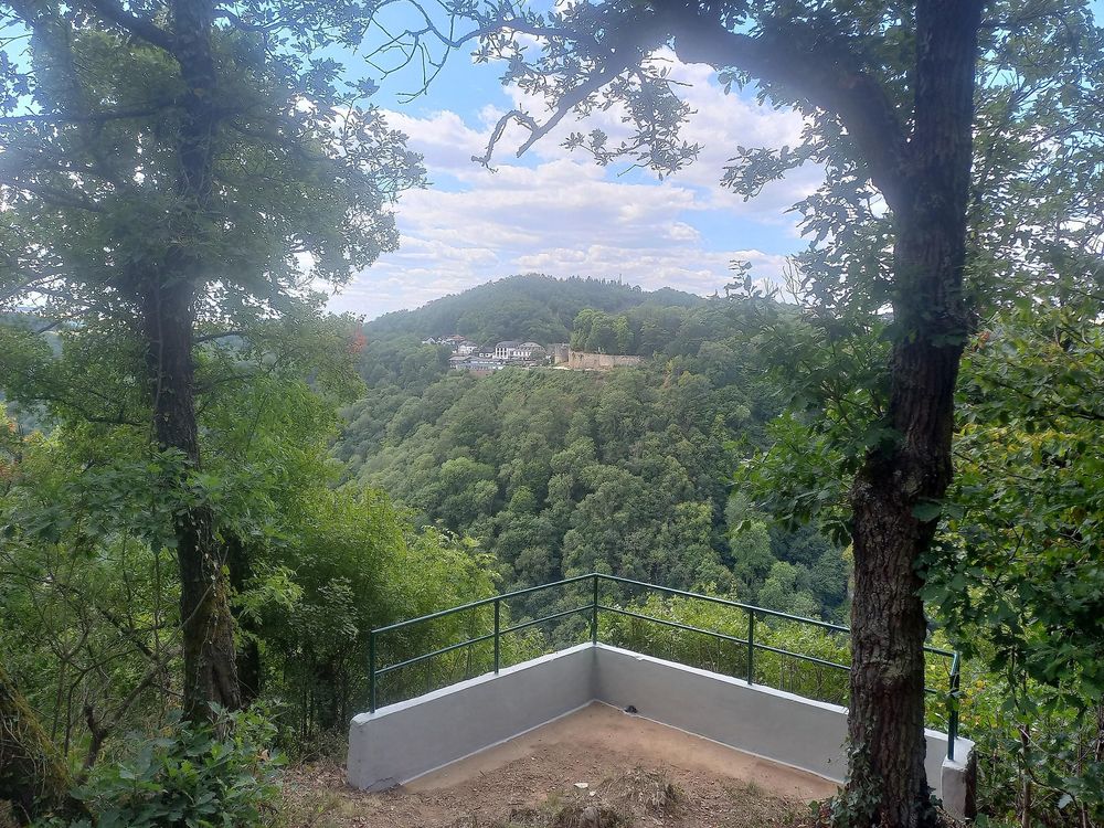
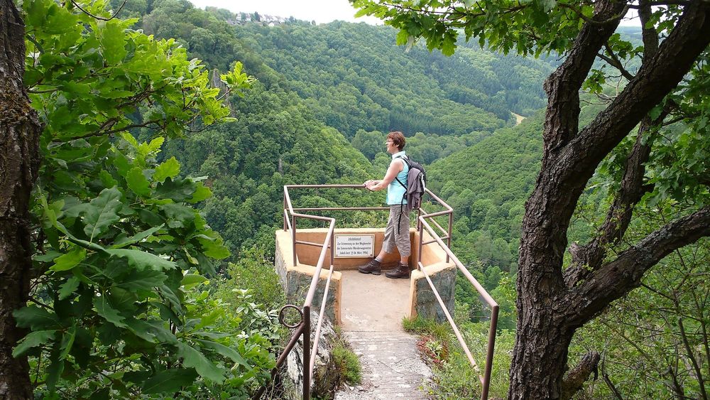
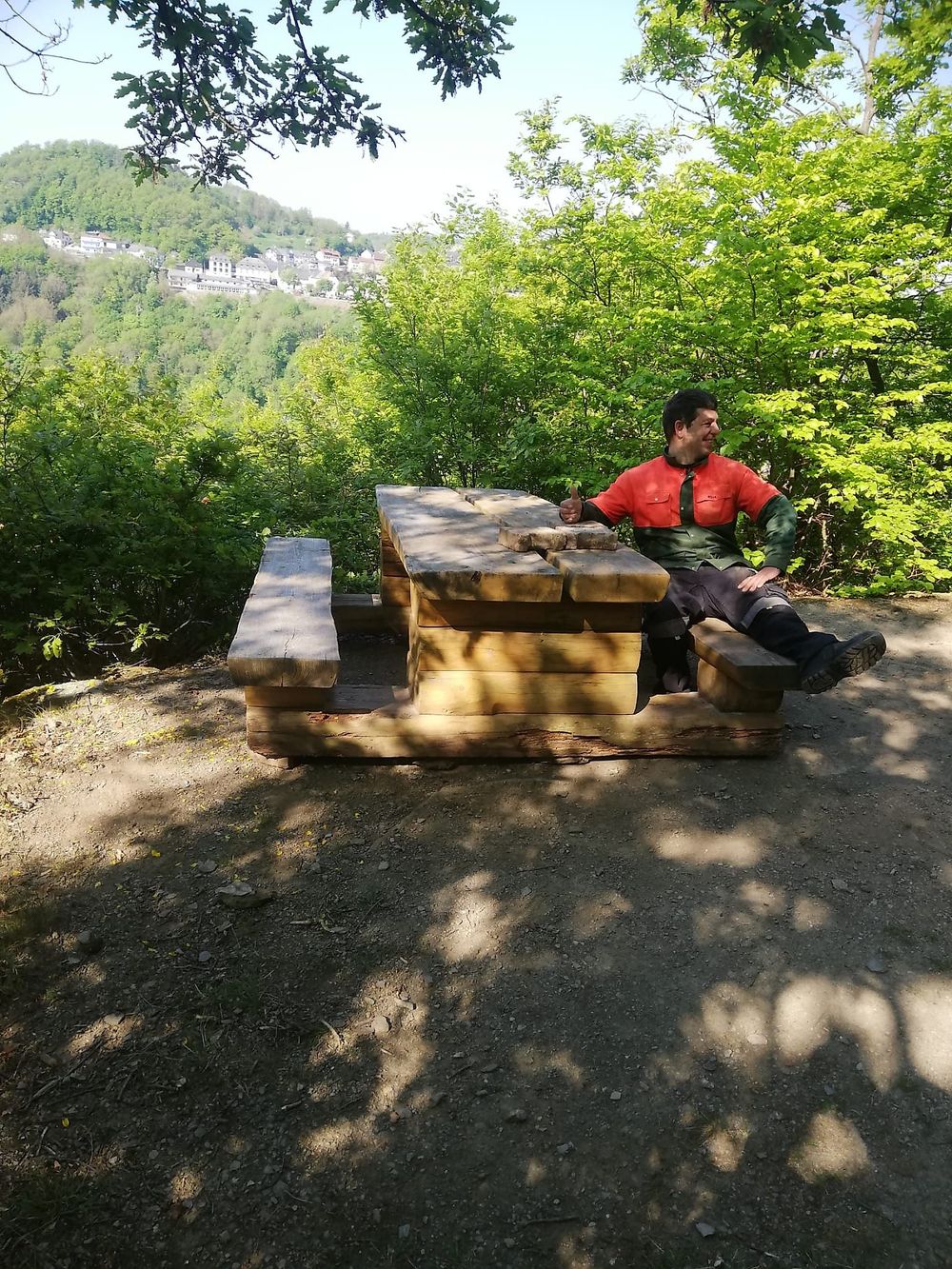
The following section with viewing platforms in prominent locations along the Simmerbach Valley is undoubtedly the crowning highlight of the trail. From the viewing platforms Falkenstein, Uhuwarte, Rabenkanzel, and Felsenköpfchen, we are treated to a breathtaking view of the Simmerbach Valley, featuring an extraordinary, southern European-influenced plant world. The Falkenstein shelter invites us to take an extended break. The entire lower Simmerbach Valley is designated as a Flora-Fauna-Habitat protection area and bird sanctuary. The strikingly green-colored slate rocks in the area of the Rabenkanzel are among the oldest rocks in Rhineland-Palatinate. The hiking trail leads us back through vineyard fallows, old fruit tree groves, and hedgerows to our starting point, the village of Simmertal.

Surefootedness is required


Sturdy footwear is required.

Take a break and let your gaze wander into the distance.

More information & GPX download

In the tour planner you will find all further information, e.g. on route changes, closures or diversions, as well as the GPX file for download.

To the tour planner (www) Download GPX