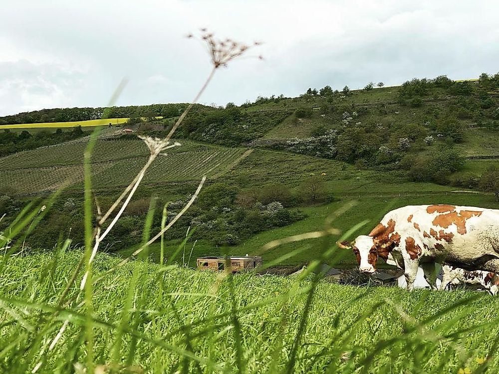
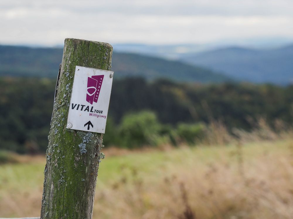
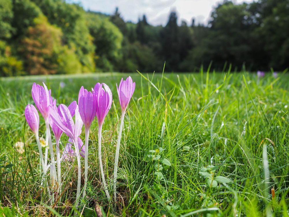
The starting and ending points of the 'Willigisweg' are in Auen and Seesbach. From the starting point at the Kneipp basin in Auen, we hike past the Willigis Chapel and along the Getzbach stream towards Auen. Here, we can also take a break and recharge for the further hike. From Auen, the path leads us north through the open Getzbachtal and to the viewpoint Kaulenberg. The surrounding vineyards, natural scrub areas, and grazed meadows with orchid populations shape the landscape impression. At the edge of the valley, the geologically and geomorphologically significant Rabenkopf Nature Reserve begins.
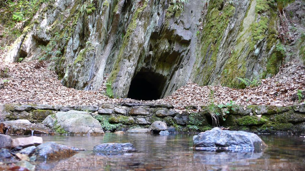
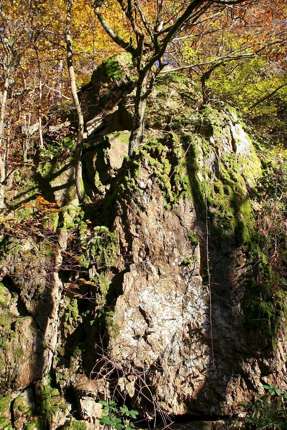
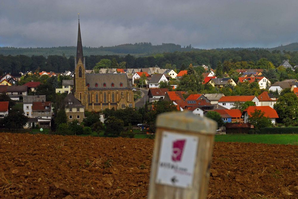
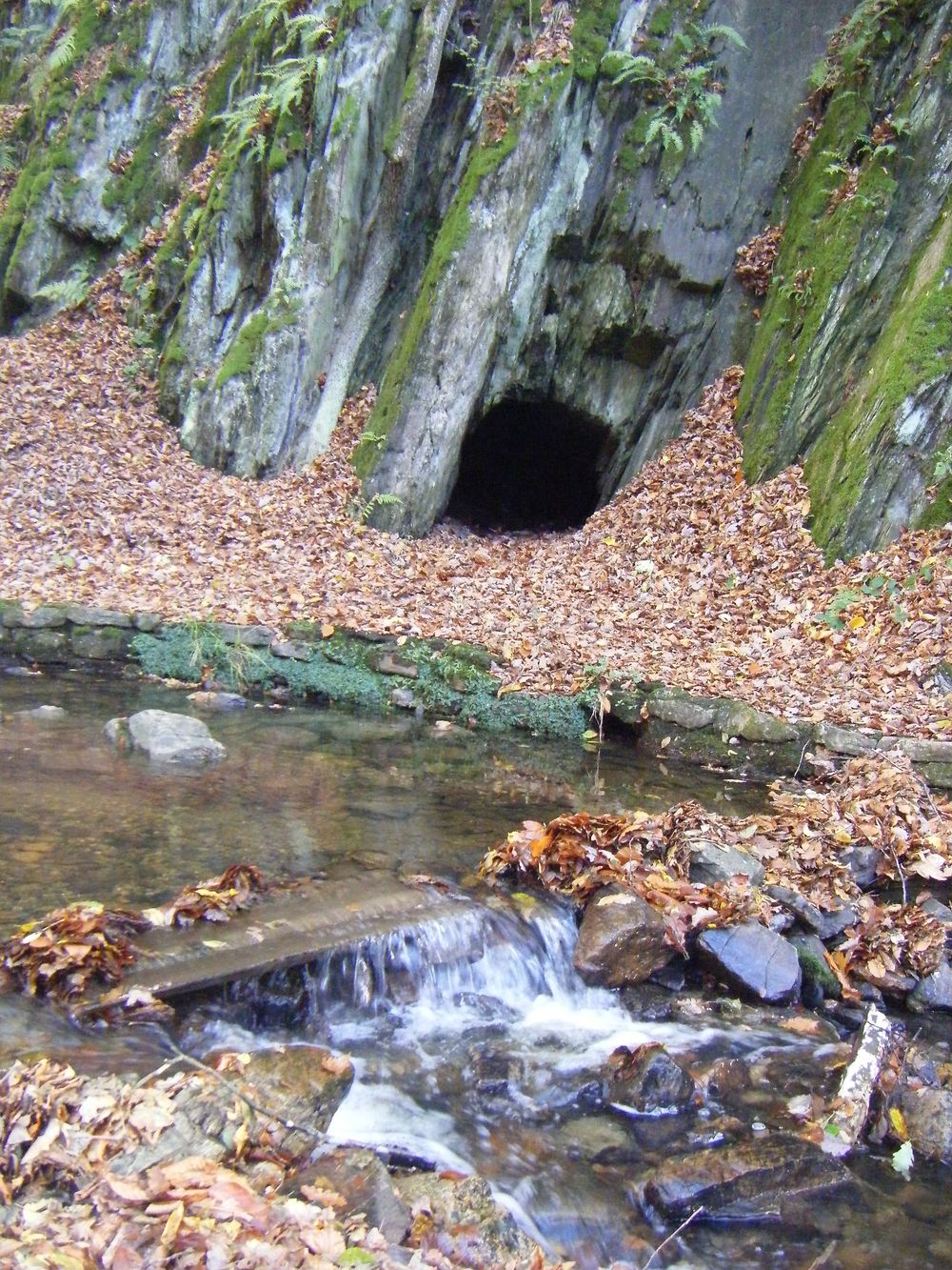
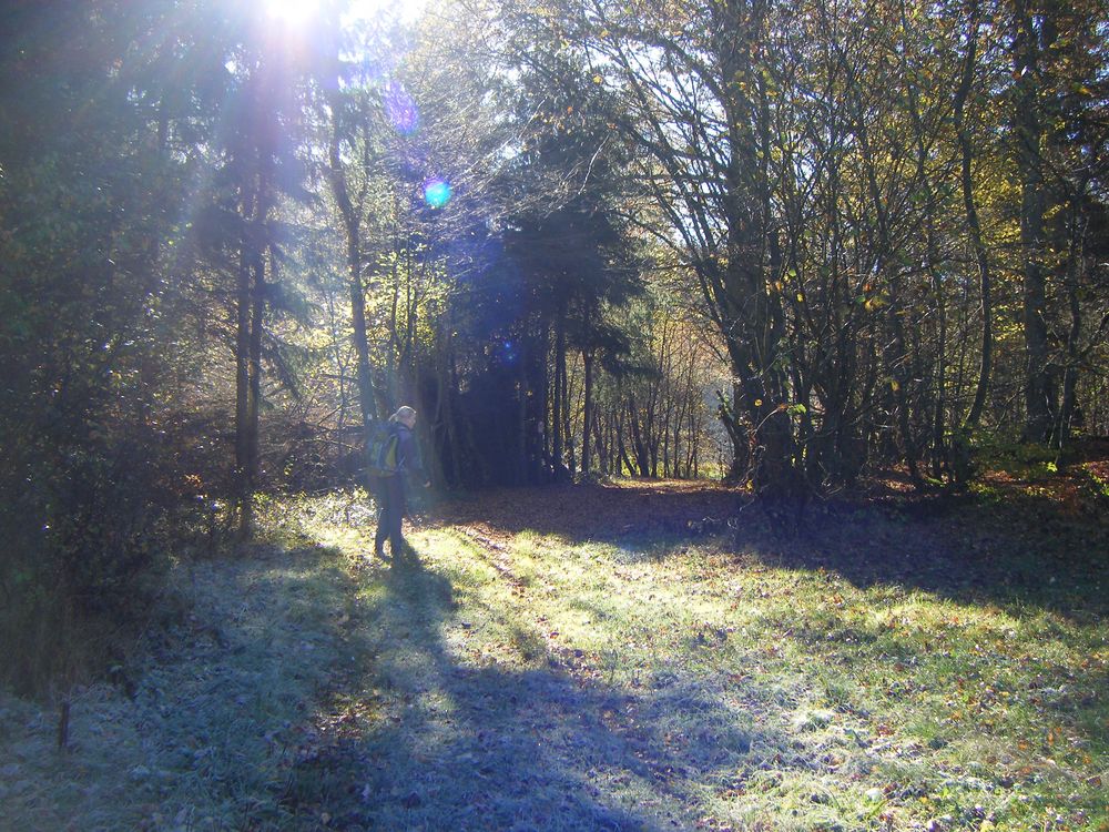
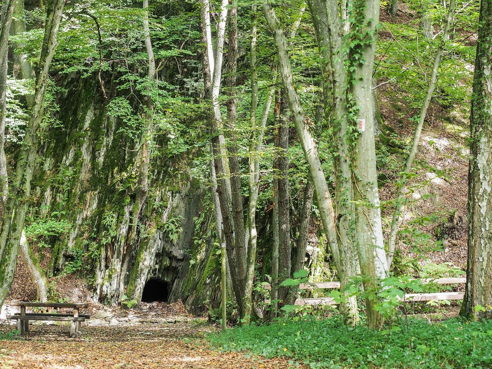
We then hike through mixed forest over a side valley of the Gaulsbach to the north. Following the banks of the Gauls or Hoxbach, we reach the Kleb. The Kleb, a deeply incised natural gorge, offers us a unique hiking experience that is one of the highlights of our hike. After a continuous ascent, we arrive in Seesbach with the Semendiskapelle and the quartzite rock in the town center. The rock is a natural monument of a special kind, whose origin remains a mystery to this day. Our path runs westward around the village location over the heights around Seesbach. The forest edges with impressive deciduous trees and interesting distant views remain in our memory. Along the Steinbach, the path flows back into the Hoxbachtal. The naturally exposed rock with caves, such as the legendary Schinderhannes Cave, impresses hikers and gives the Hoxbachtal a distinctive character. On a nature-friendly path, we leave the valley after about 700 m and reach the high plateau in the district of Pferdsfeld via a forest path, passing forest meadows.
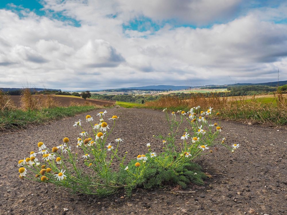
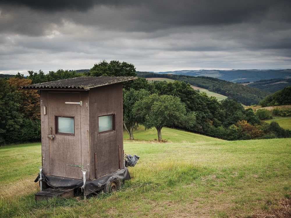
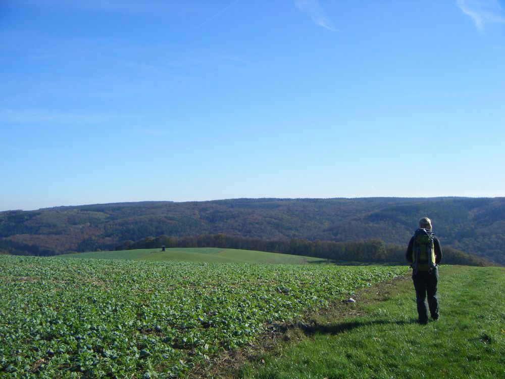
On the Kaulenberg, we have panoramic views of nearly 360° from the Fuchshof viewpoint towards the heights of the Soonwald ridge and the Palatinate highlands. These provide us with a remarkable impression of the low mountain range landscape. Intensive agricultural cultivation indicates the agricultural significance of the areas. The path leads us over the high plateau into the side valley heading south. The slopes of the 'Wingertsberg', threatened by scrub encroachment, present an idyllic picture of this hiking section. Through the valley floor of the 'Müllersloch', we hike up a steep forest path to the heights of the Getzbachtal. The path now gradually descends over the meadow areas to the valley floor of the Getzbach and leads us back to the starting point at the Kneipp basin in Auen.