


Celtic Fortress on the Bremer Berg near Kirnsulzbach
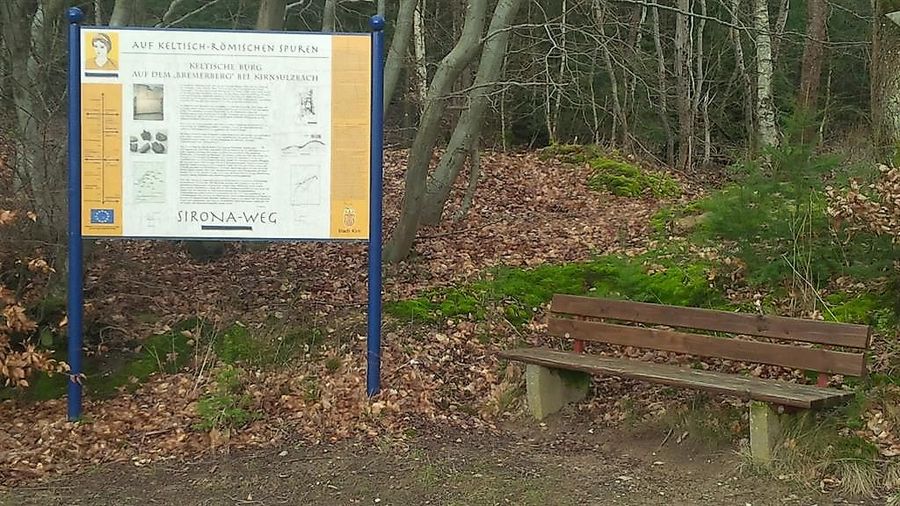
At the edge of the Nahe Valley rises the "Brombeer-" or "Ginster-" mountain, with partly steep slopes 150 m above the valley floor. As late as 1812, it bore the descriptive name "Ringmauer". The 260 m wide summit also towers 10-15 m above a wide saddle that connects it to the rear high plateau. A prominent stone wall encloses an interior area of 1.5 ha, bordered by steep slopes. The fortification likely continued in a weaker form along the steep edges. An archaeological excavation in 1972 provided evidence of a Celtic fortress built around 514 BC.
The stone wall represents the ruins of a wall at least 3.8 m wide. This wall was constructed with selected stones laid dry on both sides and filled with earth and stones on the inside. An embedded wooden bracing system with three rows of posts served for stabilization and supported a wooden parapet. Although the exact construction here is not known, it fits into the picture of other Celtic fortifications, which were the only stone constructions of the Celts.
In front of the eastern part of the wall opposite the saddle, a 2 m deep ditch was dug and thrown up as an obstacle to approach, even though the base of the wall already rose 5 m above the forefield due to the natural elevation.
Celtic Fortress near Kirn-Sulzbach
Celtic Fortress on the Bremer Berg near Kirnsulzbach
Categories
Contact details
Email: tourismus@kirner-land.de Phone: +49 6752 135 155 Website: http://www.kirner-land.de
Opening hours
Monday: 00:00 - 23:59Tuesday: 00:00 - 23:59
Wednesday: 00:00 - 23:59
Thursday: 00:00 - 23:59
Friday: 00:00 - 23:59
Saturday: 00:00 - 23:59
Sunday: 00:00 - 23:59
Address
Kirchstr. 3
55606
Kirn
(DE)
Coordinates
Lat: 49.751087
Long: 7.420040