


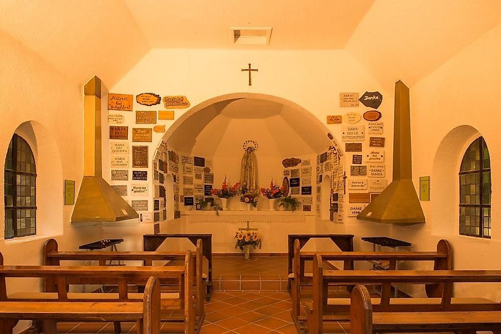
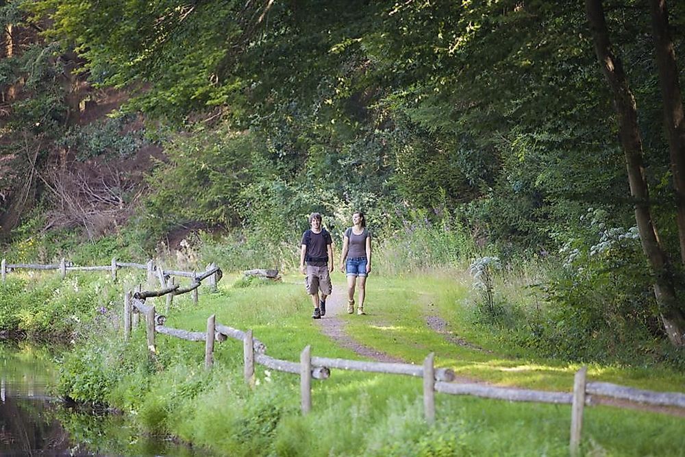
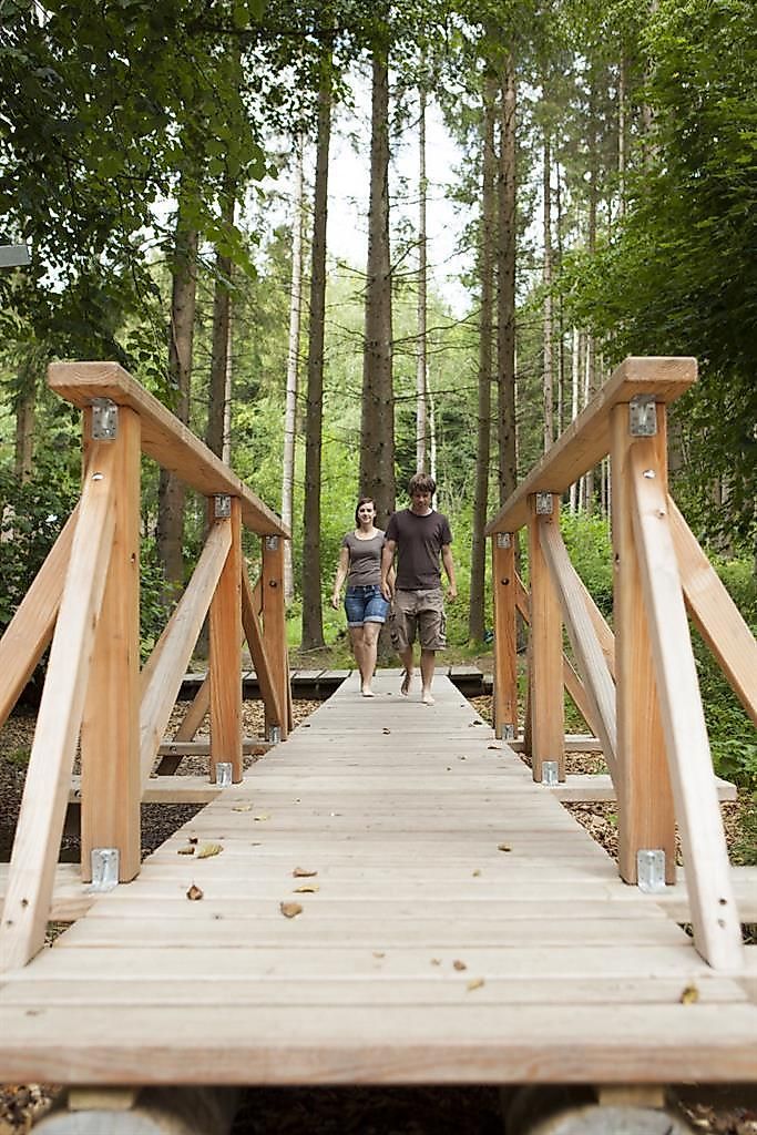
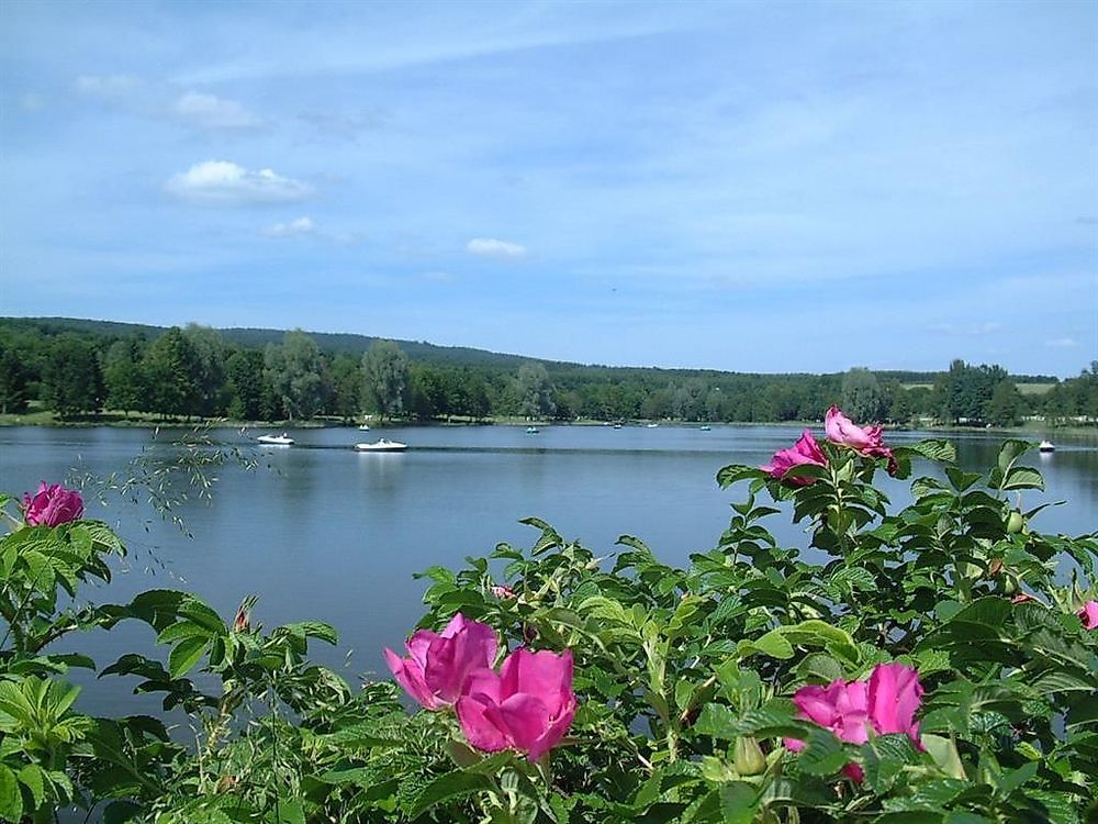
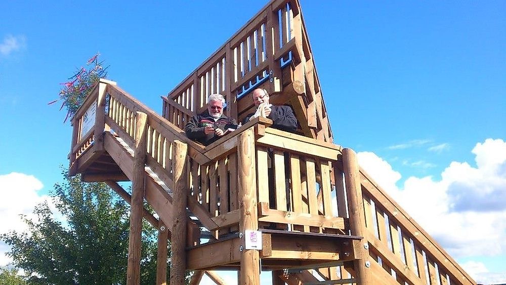
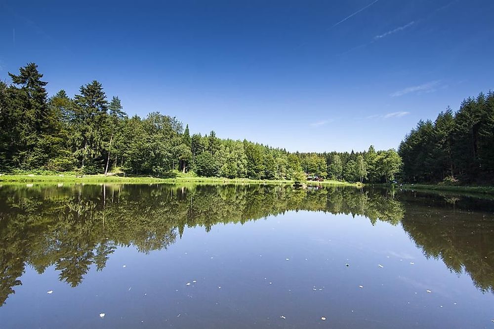
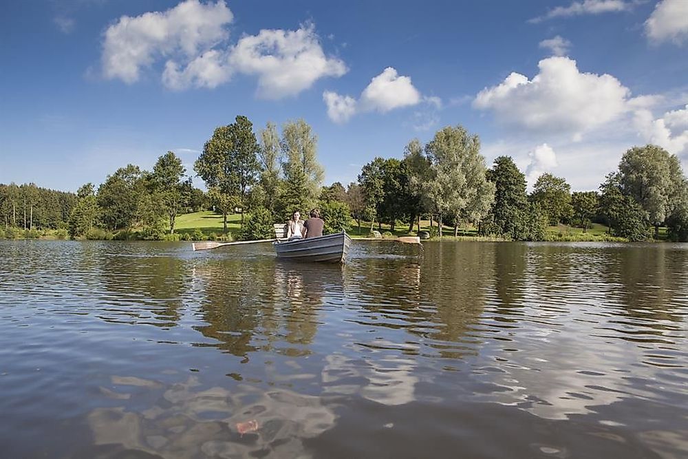
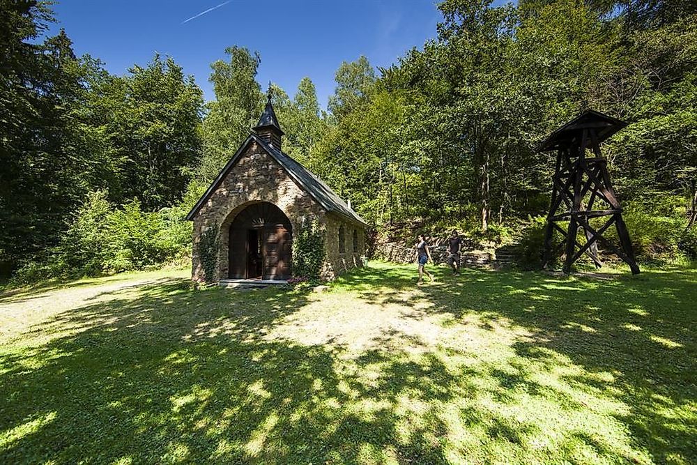
Name is omen with this new panoramic path. Starting from the recreational facility at the edge of the forest in Schillingen, the path leads around the town with 1,300 inhabitants and offers wonderful views of Schillingen and the two highest ridges of the Hochwald - the Black Forest Hochwald with its highest elevation, the Teufelskopf, and the Osburger Hochwald with the prominent Rösterkopf. A constant change between paths over open fields and trails through ancient forests and along various streams characterizes the path. The Schillinger Waldweiher, the Fatimakapelle, and the Kell reservoir are further highlights on this path, which impressively reveals the natural beauties of the Hochwald to the hiker.
The 16 km long path can be walked year-round, taking into account possible restrictions due to force majeure, such as ice, snow, or storm damage. Due to its length and the predominant path character, the path is classified as moderately difficult. With breaks, one should plan 5-6 hours for the complete traversal of the path.
For more information, visit www.saar-hunsrueck-steig.de / Dream Loops.
There is also the option to access or download the stored PDF file in the button "Dream Loops" on the entry page of our homepage www.hochwald-ferienland.de.
DREAM LOOP Schillinger Panorama Path
Dream Loop "Schillinger Panorama Path" In the interplay of narrow paths and wide trails...


Categories
Contact details
Email: info@hochwald-ferienland.de Phone: +49 6589 1044
Opening hours
Monday: 00:00 - 23:59Tuesday: 00:00 - 23:59
Wednesday: 00:00 - 23:59
Thursday: 00:00 - 23:59
Friday: 00:00 - 23:59
Saturday: 00:00 - 23:59
Sunday: 00:00 - 23:59
Address
Freizeitanlage Schillingen
54429
Schillingen
(DE)
Coordinates
Lat: 49.628838
Long: 6.763630