Municipality Administration Thalfang am Erbeskopf

Seat of the Municipality Administration Thalfang.
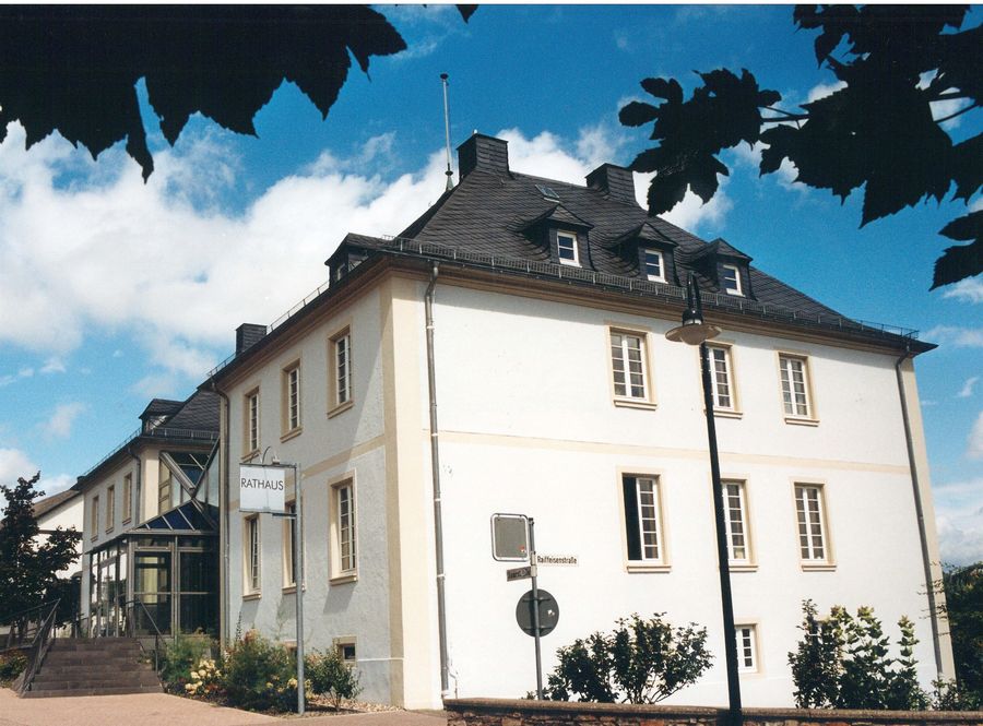
The Municipality Thalfang am Erbeskopf is a local authority in the district of Bernkastel-Wittlich in Rhineland-Palatinate. The municipality comprises 21 independent local communities, with the administrative seat located in the eponymous community of Thalfang. Within the area of the municipality lies the eponymous Erbeskopf, the highest elevation in Rhineland-Palatinate. Additionally, the Hunsrück-Hochwald National Park is located within the municipality's area.

Categories

Community / Town Hall Infrastructure Hunsrück-Hochwald National Park Region POI Offices/Administration
Opening hours

The opening hours can be found in the official gazette of the Municipality Thalfang am Erbeskopf.

Address

Saarstr. 7
54424 Thalfang (DE)

Coordinates

Lat: 49.751940
Long: 6.998602

More information

The Verbandsgemeinde Thalfang am Erbeskopf is a municipal authority in the Bernkastel-Wittlich district in Rhineland-Palatinate. The municipal authority comprises 21 independent local communities, with the administrative seat located in the namesake community of Thalfang. Within the area of the municipal authority lies the namesake Erbeskopf, the highest elevation in Rhineland-Palatinate. Additionally, the Hunsrück-Hochwald National Park is located within the area of the municipal authority.

Seat of the Verbandsgemeinde administration Thalfang.