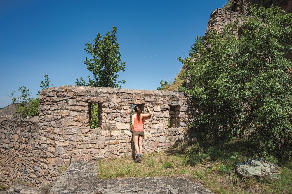
The Rheingrafenstein is a 136 m high porphyry rock formation on the Nahe opposite Bad Münster am Stein-Ebernburg.
Geologically, it belongs to the Kreuznach massif. At its summit stands the ruin of Rheingrafenstein Castle, which was built in the 11th century and destroyed during the Palatine War of Succession in 1688. The Rheingrafenstein is the landmark of the Bad Kreuznach district of Bad Münster am Stein-Ebernburg. A little below is the outer castle ruin Affenstein. An area of 200 hectares around the rock formation was declared a nature reserve in 1985.
Coming from Bad Münster am Stein, the Rheingrafenstein can be reached via a footpath after crossing the Nahe on a hand-pulled ferry. The ferry on the Nahe is not only a rarity but also a piece of transport history, as it was already mentioned in 1721.
Alternatively, there is the option to drive to a nearby parking lot following the Rheingrafenstraße via Bad Kreuznach and hike to the castle and viewing platform. (Start leisure area Kuhberg)
Tip: 3 x premium hiking at Rheingrafenstein
IntroTour/ClassicTour/VitalTour