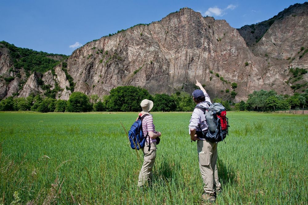
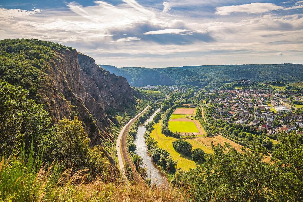
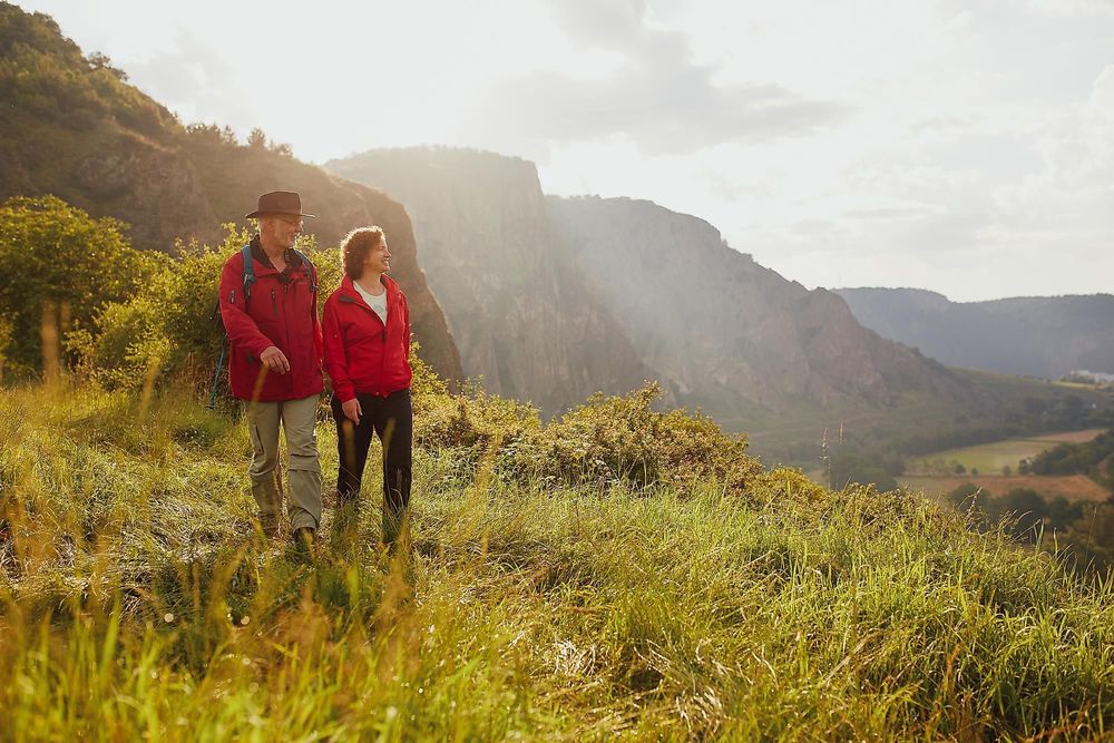
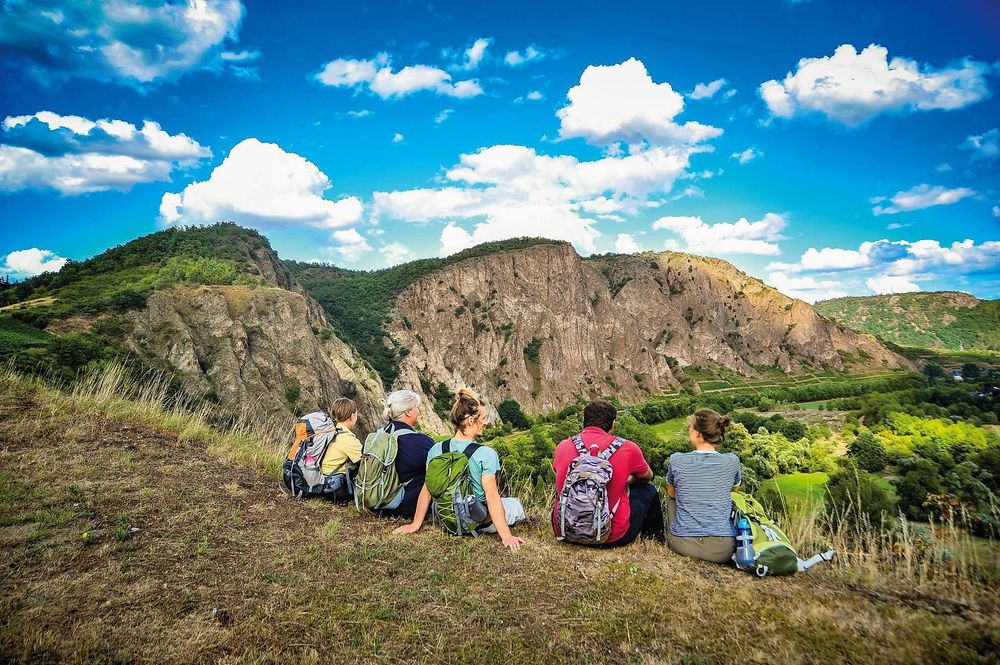
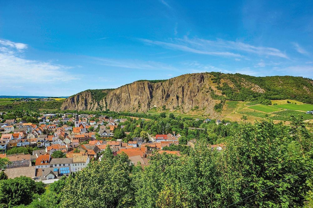
The Rotenfels is a nature reserve and is home to a variety of rare plants and animals that can only be found in this region. It is also ideal for hiking enthusiasts. One of many hiking trails runs directly along the entire edge of the mountain massif. There is also a rest area on the mountain that invites visitors to take a break. The Rotenfels is located on the left bank of the Nahe River between the towns of Norheim and Bad Münster am Stein-Ebernburg.
The southern-southeastern boundary is defined by the Nahe Wine Road running along the foot of the slope and the outskirts of Bad Münster am Stein-Ebernburg. In the southwest and north, however, vineyards and forest areas form the boundary of the area. Several hiking trails lead over the mountain massif, and the platform can also be easily reached by car via the village of Traisen.
The Vitaltour Rotenfels and other well-marked hiking trails lead over the rock massif
German Alpine Club Section Nahegau: Climbing at the Rotenfels
The Rotenfels, the highest rock massif in Germany outside the Alpine region, is a significant rock biotope and is therefore designated as a nature reserve. Climbing is only possible with restrictions, particularly to protect the peregrine falcon. In principle, the area west of the Bastei is closed year-round, while the area east of the Bastei is closed from January 1 to June 30. Exceptions for climbing permits within the regular closure period are usually announced at the end of April or beginning of May. The Rotenfels is not a sport climbing area but has an alpine character. It is therefore only suitable for experienced climbers. Good local knowledge is necessary to find a climbing route among the many gravel channels, chimneys, towers, rock walls, and scree slopes.
For those unfamiliar with the area, it is essential to be guided by an experienced local companion. (kontakt@dav-nahegau.de)