


As part of the water project "Ruwer and tributaries", a large nature conservation project of the Trier-Saarburg district, which aims to preserve and develop the Ruwer and its tributaries with the river meadows as near-natural water and floodplain landscape as a guiding goal, this themed hiking trail was created.
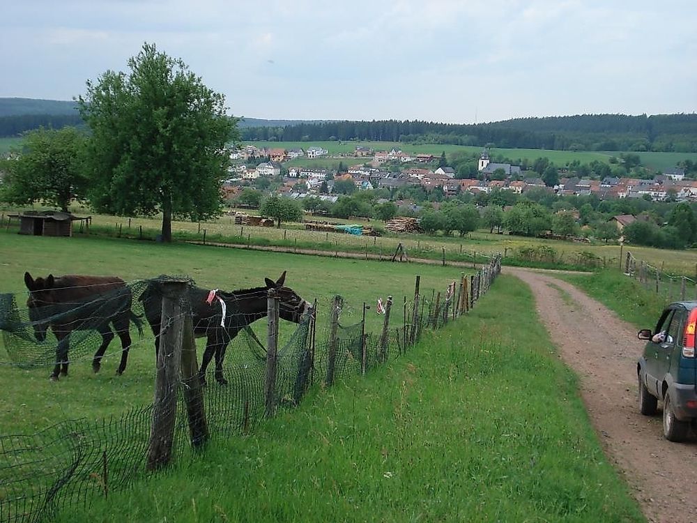
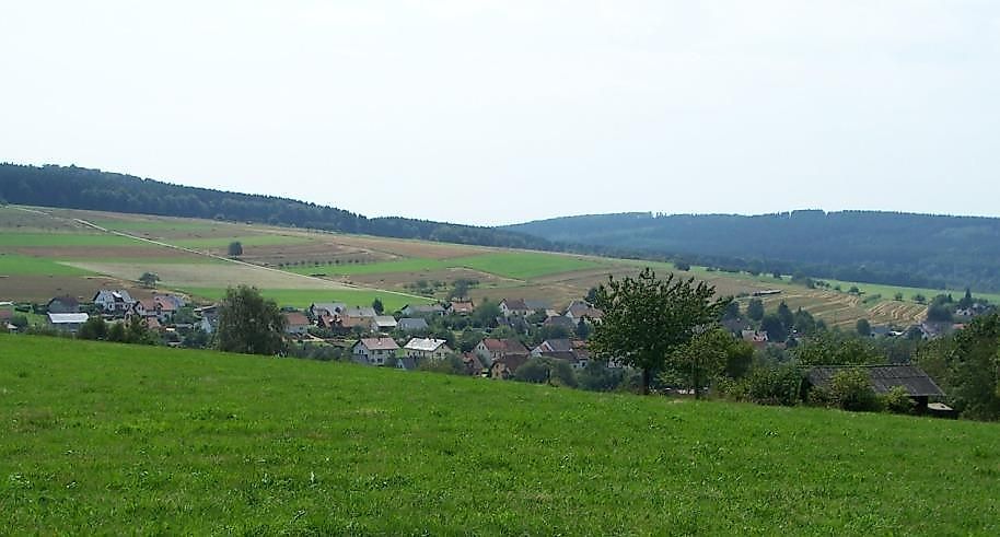
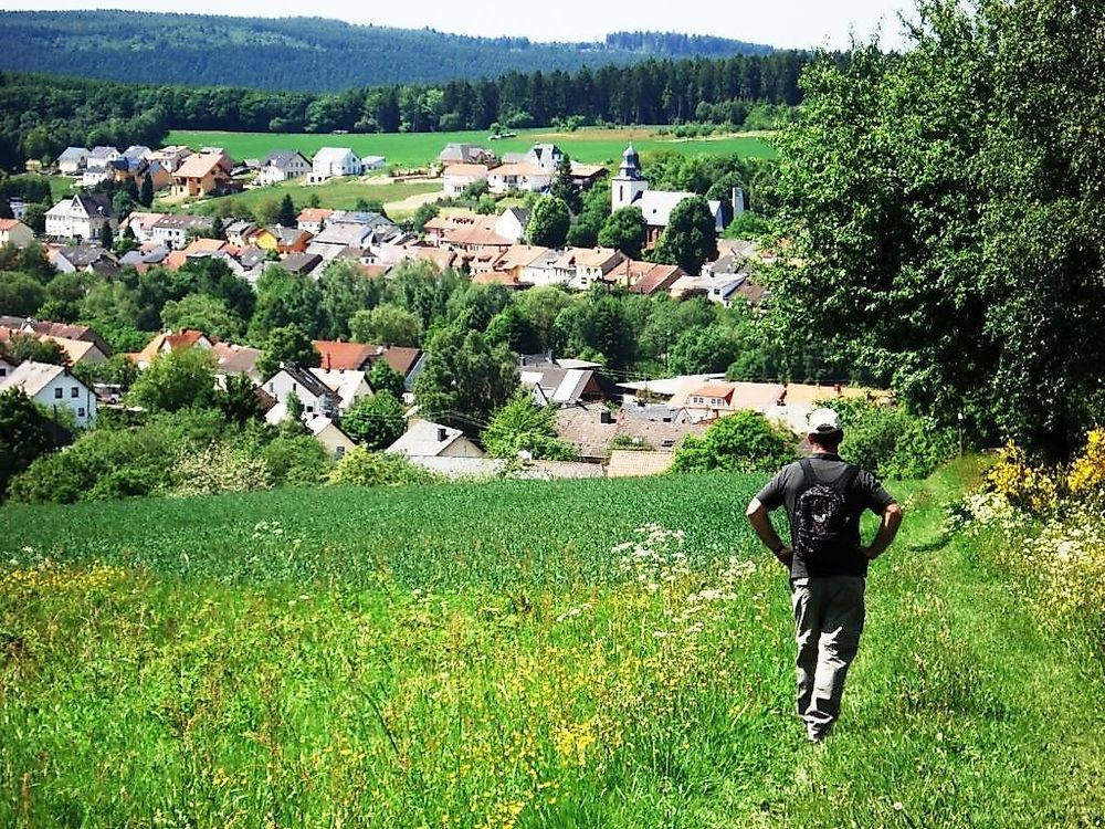
On a walking distance of 6.5 km, you will learn a lot about the Eurasian skylark, which is native to the wet and moist meadows here. Eselsbach and Bingelbach flow through the Greimerath basin, at its lowest point is the "Panzbruch". This flat moor has been a nature reserve since 1983.
You start in the town center of Greimerath, at the bridge on Hochwaldstraße / transition to the main road.
Walking time: About 2.5 hours.
Route profile, elevation profile, and GPS data can be found at:
RuT 3 - Circular hiking trail near Greimerath
"Visiting the Eurasian skylark"
Categories
Contact details
Email: info@hochwald-ferienland.de Phone: (0049) 1044
Opening hours
Monday: 00:00 - 23:59Tuesday: 00:00 - 23:59
Wednesday: 00:00 - 23:59
Thursday: 00:00 - 23:59
Friday: 00:00 - 23:59
Saturday: 00:00 - 23:59
Sunday: 00:00 - 23:59
Address
54314 Greimerath (DE)
Coordinates
Lat: 49.562096
Long: 6.681528