Short Profile
Total Length: 6.4 km
Highest Point: 291 m
Lowest Point: 135 m
Duration: approx. 2.5 hours
Difficulty Level: medium
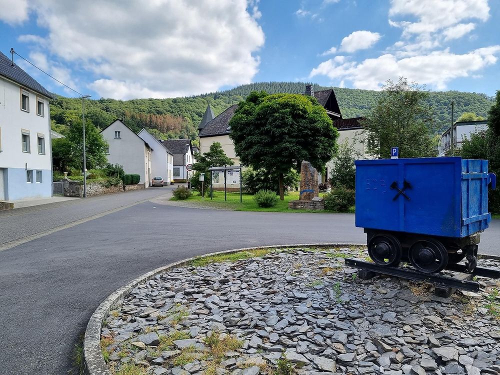
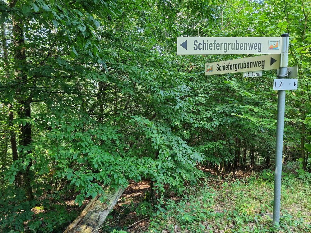
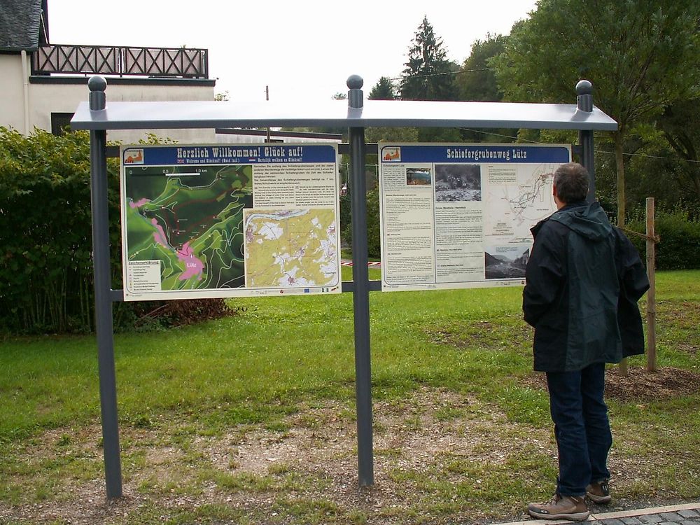
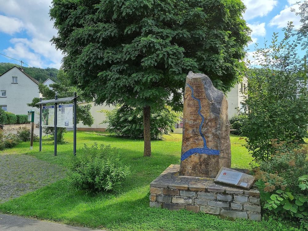
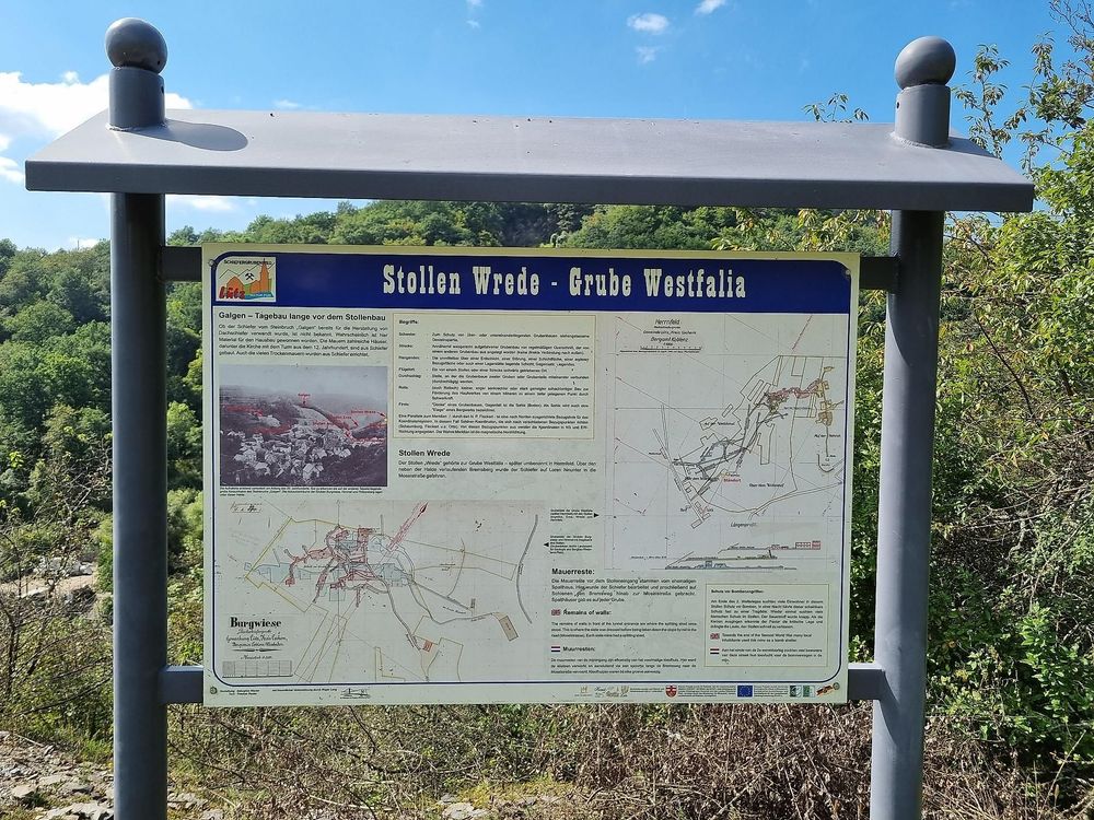
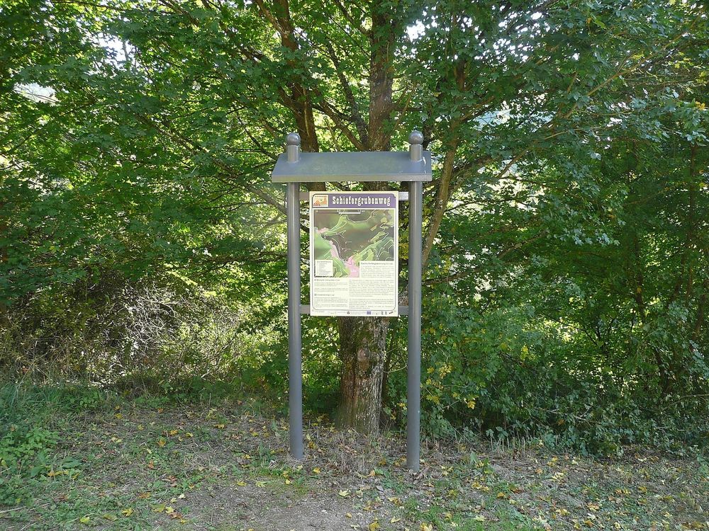
Starting from the information board in Lütz (Moselstraße, at the entrance to the village), which shows plans of the mining facilities and a map of the entire trail, the hike begins through Moselstraße and continues through Herrengrabenstraße. At the end of the street, the Schiefergrubenweg begins, which can be walked in both directions.
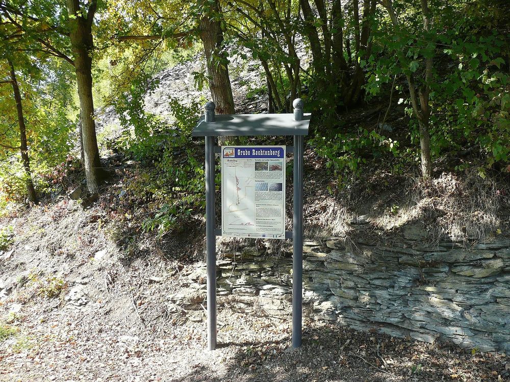
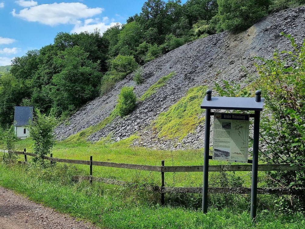
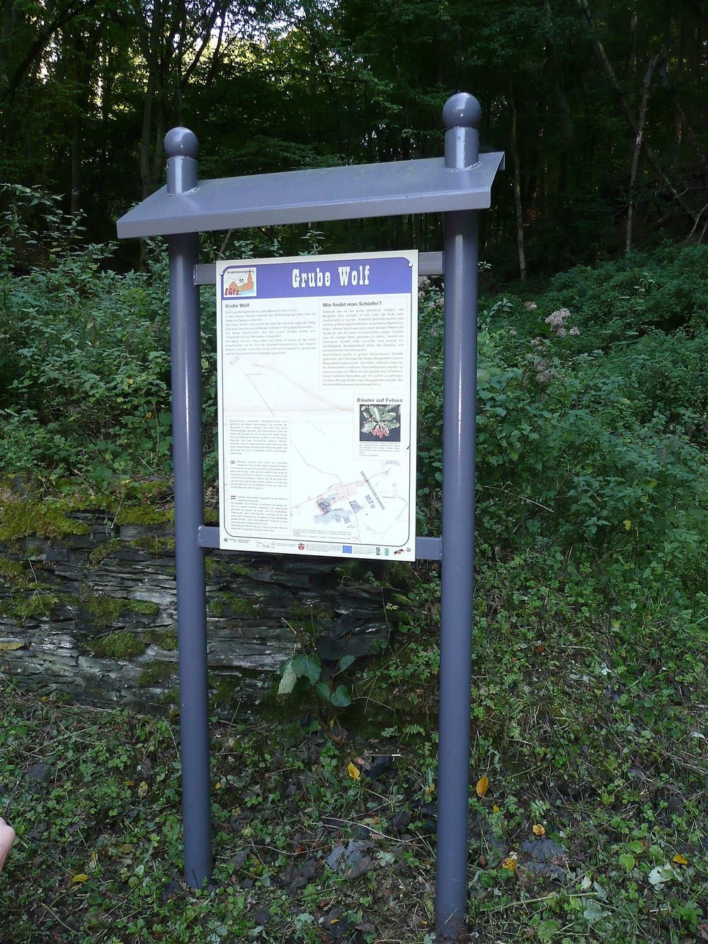
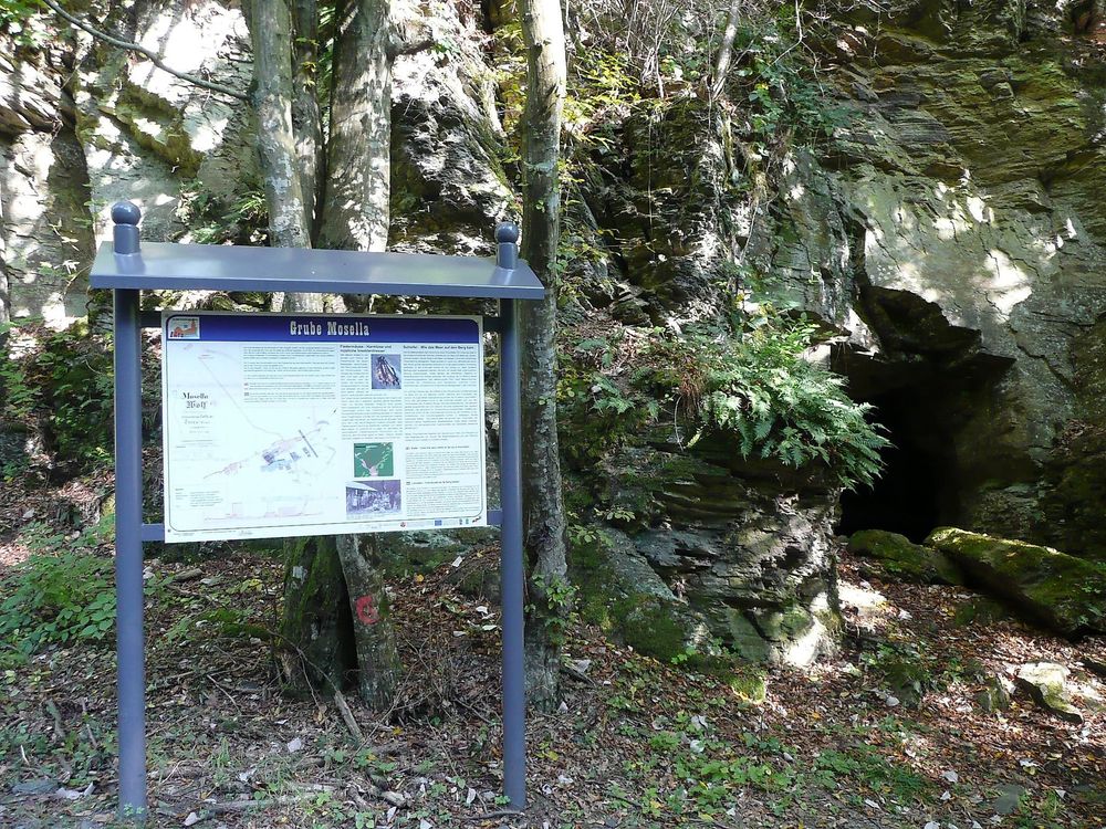
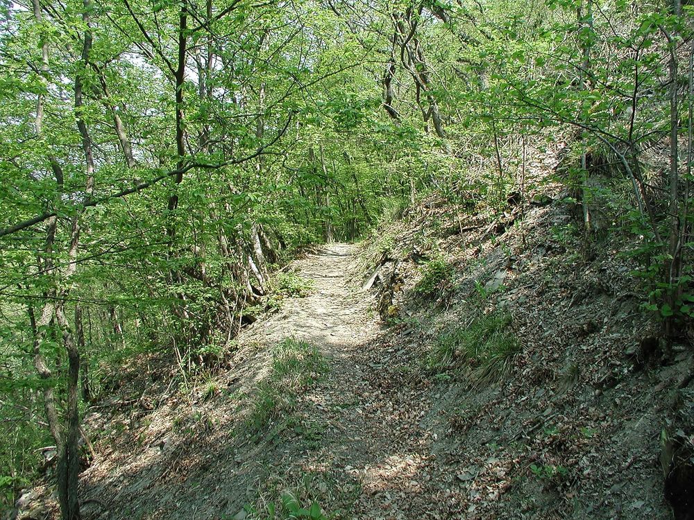
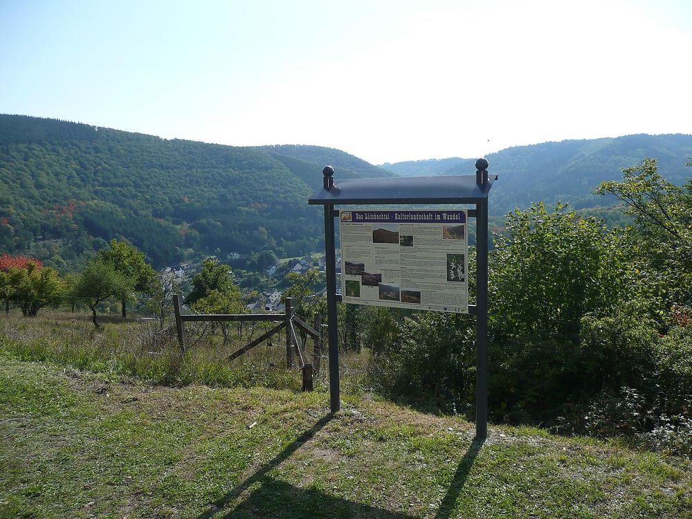
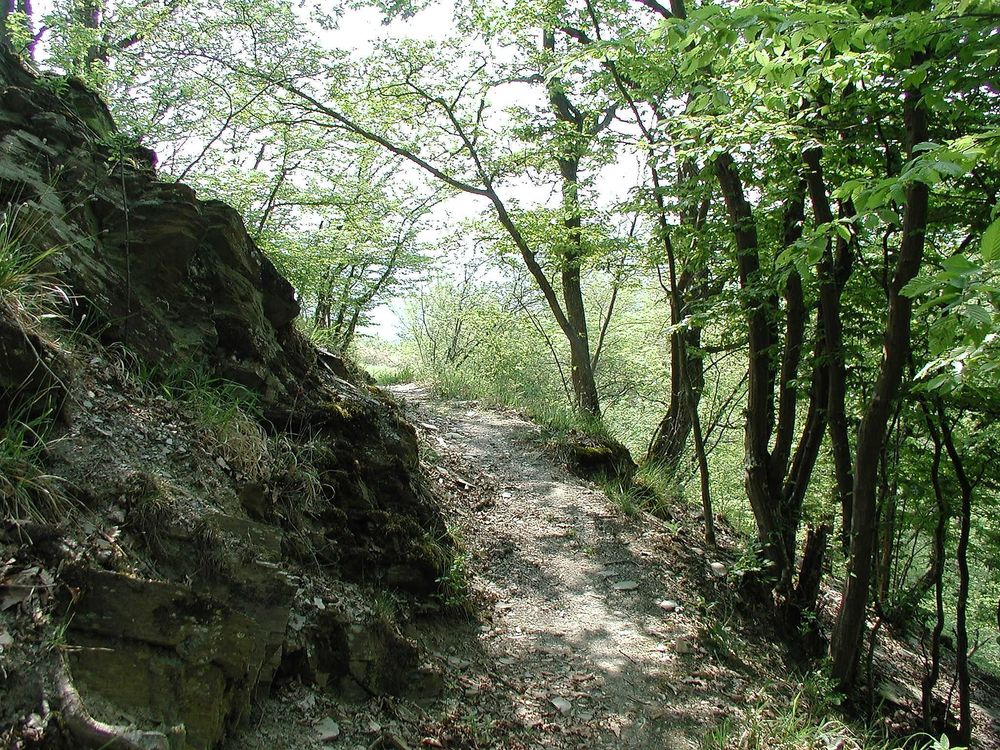
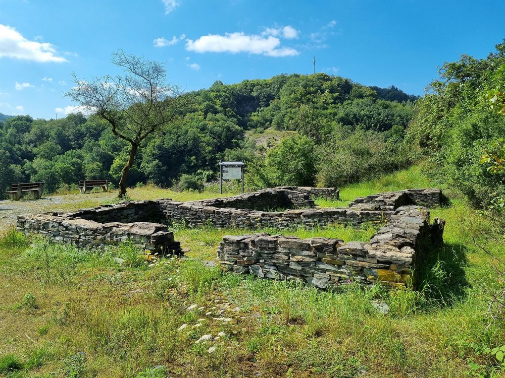
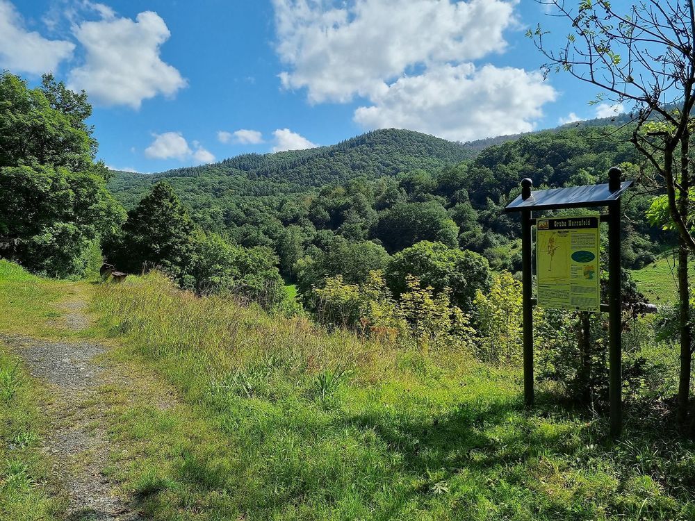
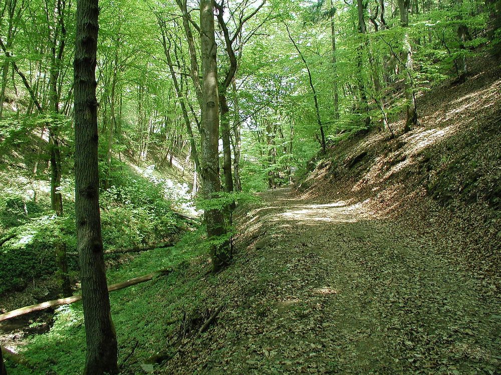
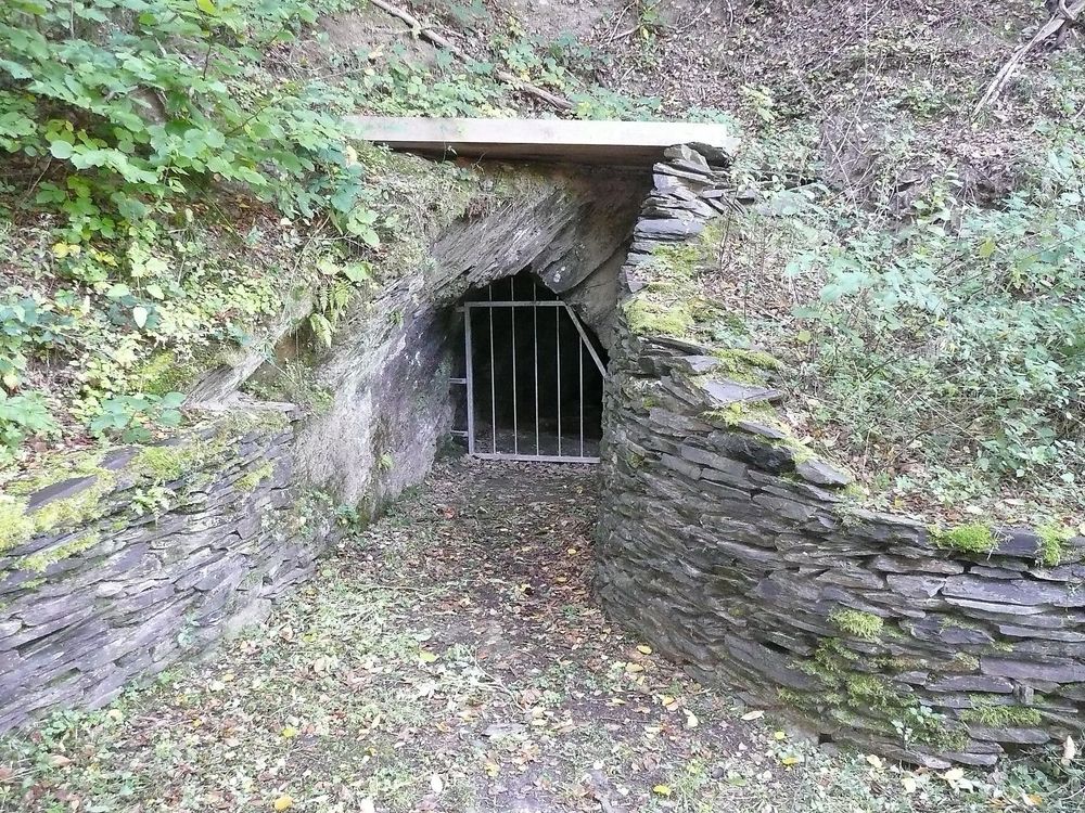
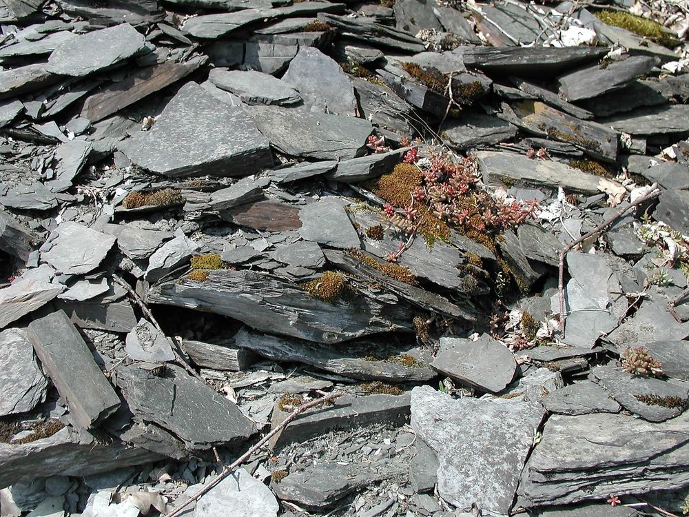
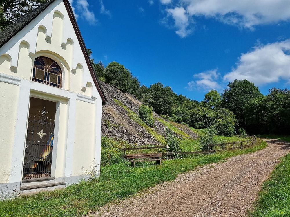
14 display and information boards along the 7 km circular route show images of the mines and much interesting information about slate mining and the nature of Lütz. Sunny warm sections, such as the “Wingert” (vineyard), where wine was grown until 100 years ago, alternate with cooler forest paths. Learn about the time of slate mining along the numerous slate quarries and tunnels.
The hiking trail can be walked year-round. Sturdy footwear is recommended.
Hiking Tips
Hauslay
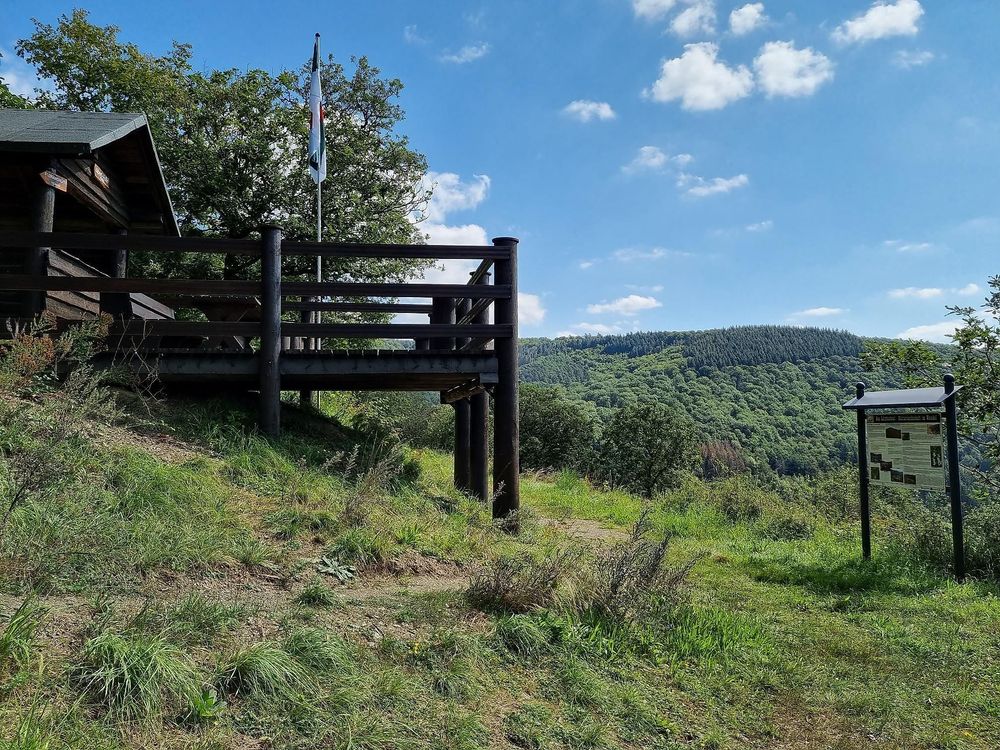
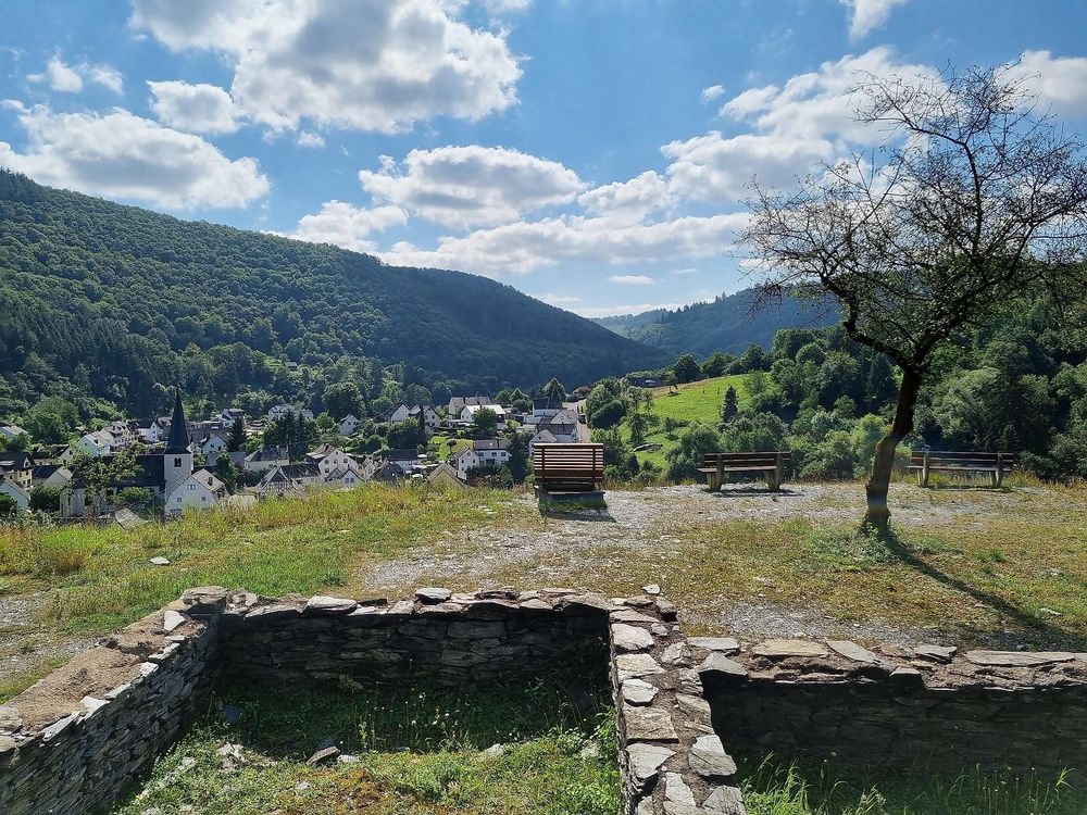
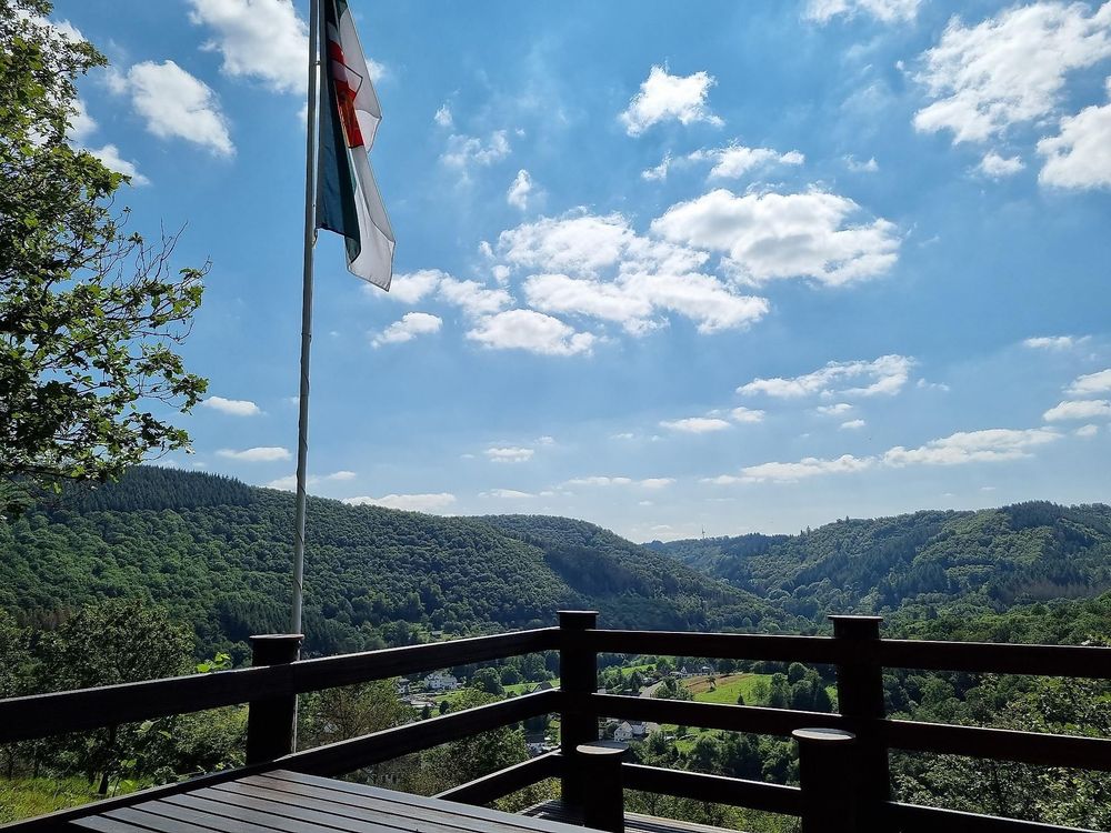
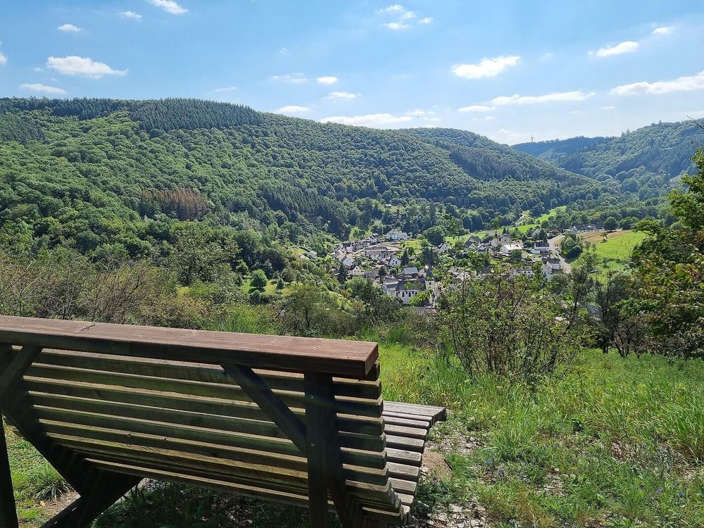
A narrow path leads from the Florianshütte over the ridge to Hauslay (“Flag”) with a magnificent view into the Lützbachtal. From here, a partly steep path leads down to Moselstraße.
Otto-Andreas Tower
A detour to the Otto-Andreas Tower (about 4.5 km round trip from Schiefergrubenweg, see map) is definitely worth it. Due to its open location at nearly 400 m above sea level, it offers an overwhelming view of the Hunsrück and Eifel.
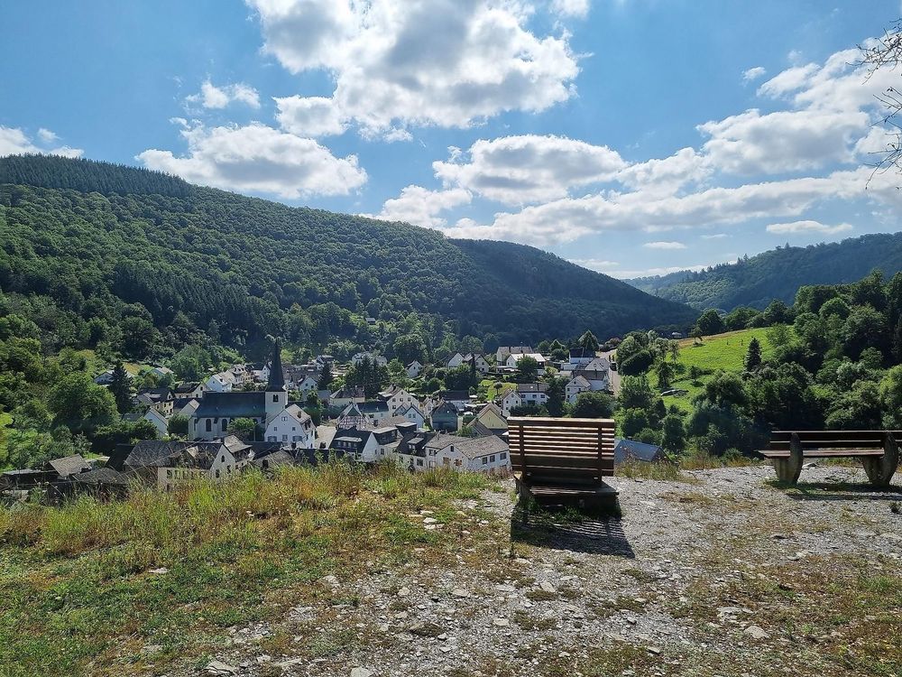
Experience the history of Lütz's slate mining in one of the most beautiful side valleys of the Mosel.
Slate mining played a significant role here in the past.
Underground mining for slate began around the mid-19th century and peaked between 1900 and 1910.
In Lütz, there were eleven mines - Westfalia, Herrnfeld, Rechtenberg, Weinsberg, Rudolfsglück, Wolf/Mosella/Luise, Burgberg, Burgwiese, Himmel, Philippsberg, and Glückauf - with 19 tunnels and five trial tunnels.
The longest was the Herrnfeld mine (formerly Westfalia) with the central tunnel “Erna” in operation (1953). The tunnel system of the longest mine “Mosella” was approximately 600 m long. The mining chambers were up to 30 meters high.
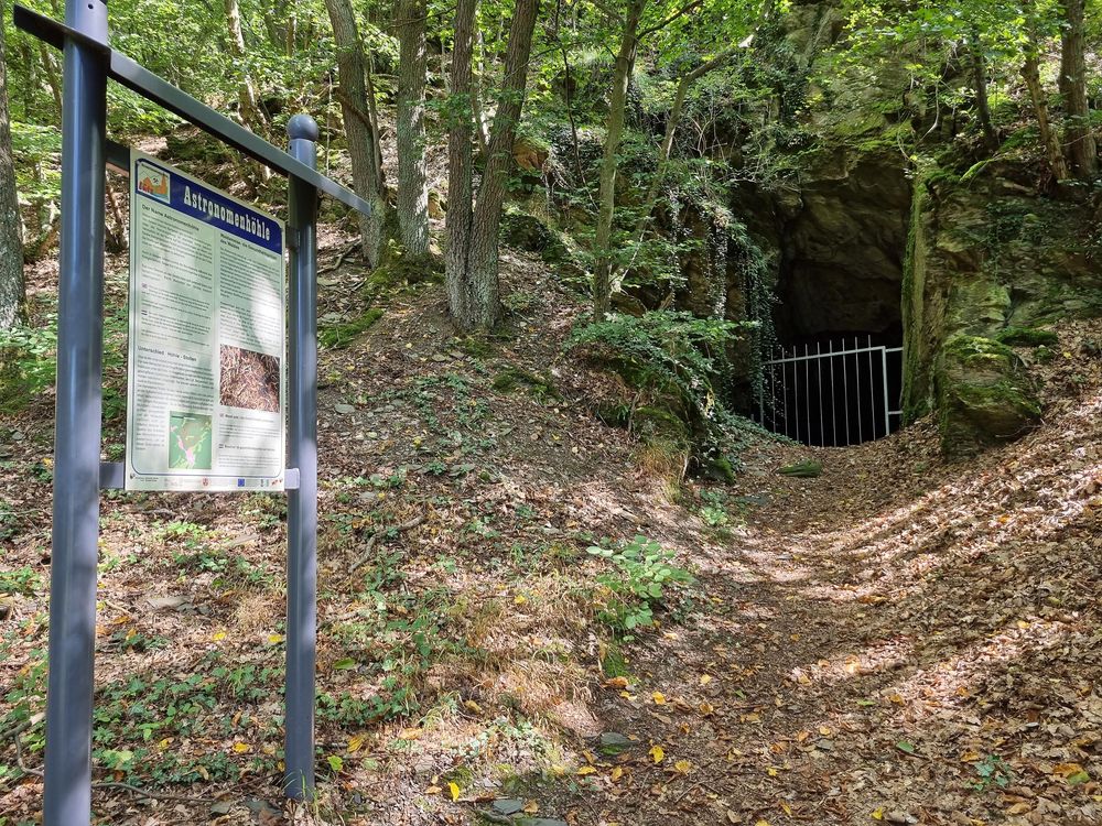
For safety reasons and to protect the bats that hibernate here, all tunnels are closed with a grid. However, the mining facilities are depicted on the information boards.