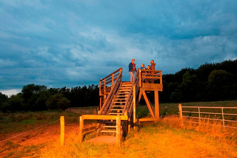
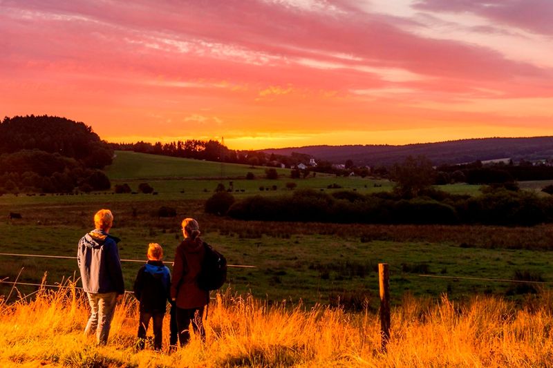
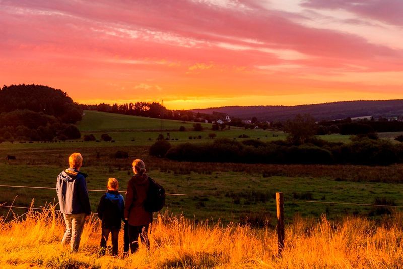
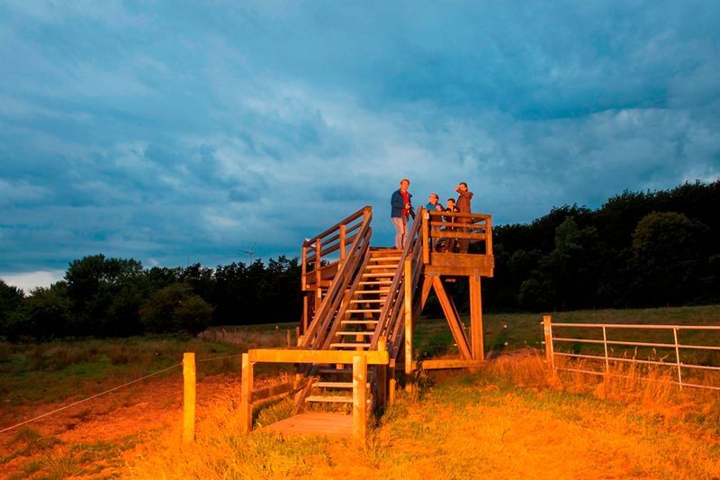
To protect endangered animal and plant landscapes in a valuable high moor, the wetland Panzbruch was designated as a nature reserve in 1983. The area, which covers 33 hectares, is located in a very ecologically valuable overall area between the federal road 268 and the district road 139, which leads into the village of Greimerath. As the predominantly wet meadows became unprofitable for agriculture, increasing bush encroachment threatened the habitat of numerous rare animals and plants that prefer open, moist locations as their habitat.
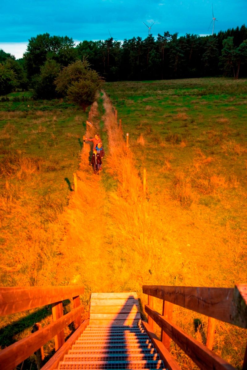
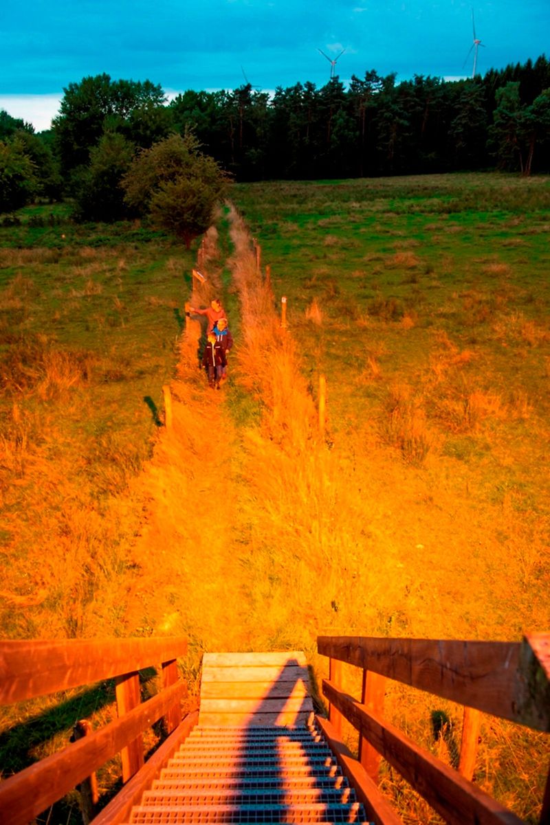
Not only do plants and animals find an ideal habitat in the Panzbruch nature reserve, but humans also appreciate this refuge with its high biodiversity of plants and animals. Through hiking trails - particularly the dream loop "Greimerather Höhenweg" is worth mentioning - and various information boards, interested nature lovers can explore the area.
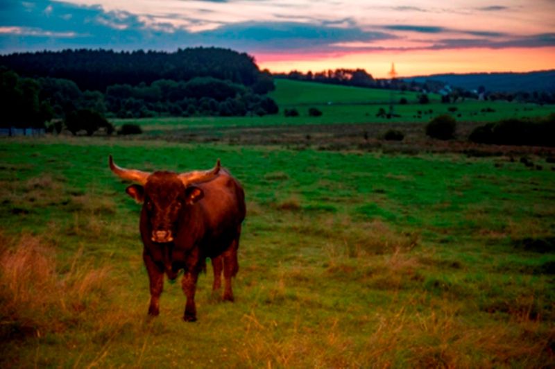
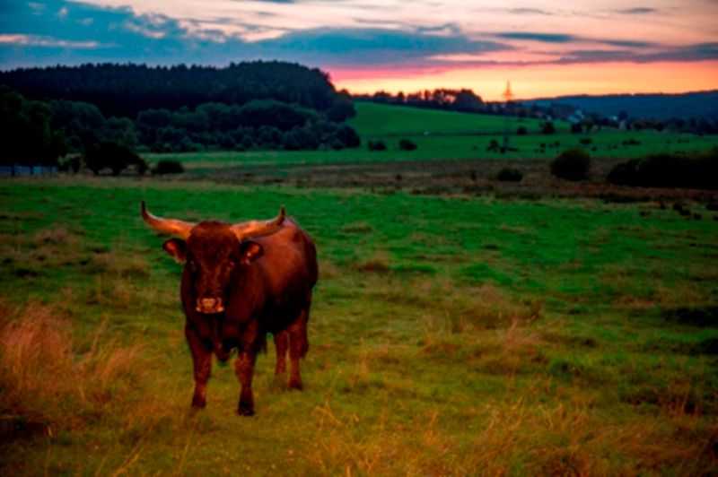
Since the summer of 2013, Taurus cattle have been grazing for nature conservation. These extremely robust cattle breeds, which stay outside all year round, are intended to eat from trees and shrubs, especially in winter when they can no longer find grass, so that these are kept small and bush encroachment cannot progress. This way, the extensive wet and moist meadows abandoned by agriculture are preserved.