Vitaltour - With Cancer and Career Unwashed

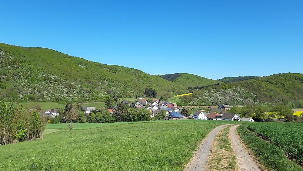
Under the motto “With Cancer and Career Unwashed”, an attractive hiking route has been created for the region...

Look forward to a special hike in the Limbach and Großbachtal, the water reservoir of the Kirner Land.

Together with the Ev. Adult Education Center Rheinland-South e. V. and with the support of the Ministry of Science, Continuing Education and Culture in Rhineland-Palatinate, a valuable knowledge path has been created here.

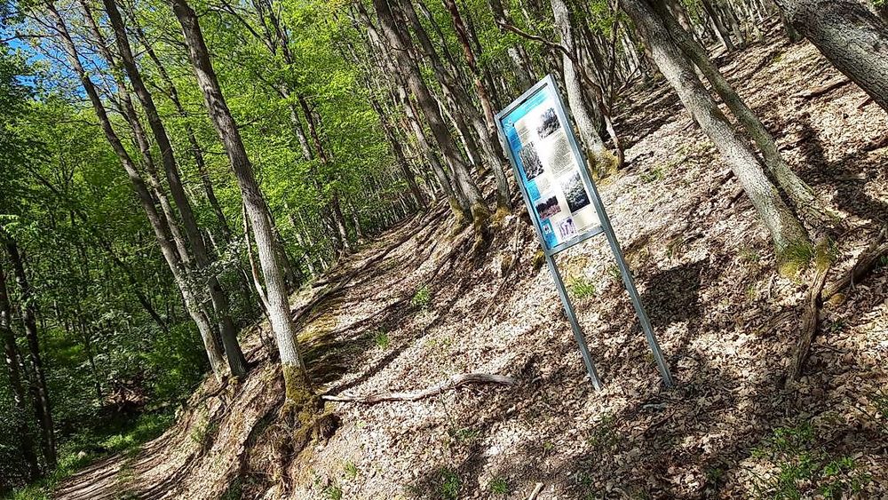
On the way, podcasts about various waypoints can be downloaded and listened to via smartphone through the homepage of the Ev. Adult Education Center Rheinland-South e. V. http://eeb-sued.de or the page of the local community Heimweiler at http://heimweiler.eu.

The podcasts are under the motto “Let’s talk about it”. It’s about life in Heimweiler from the end of the war to today. Some residents of Heimweiler share stories from their childhood, youth, adult, and senior life in Heimweiler.

It is recommended to download the podcasts before starting the hike at the community center via the local Wi-Fi hotspot and then begin the hike.

We wish you a lot of variety on the Vitaltour “With Cancer and Career Unwashed”

All Vital Tours

Between Nahe and Hunsrück
Length
approx. 14 km
Duration
approx. 4 hrs
Difficulty
4/6
Fitness
4/6
Experience
3/6
Landscape
5/6
Ascent
412 m elev.
Descent
412 m elev.
Season recommendation
Jan
Feb
Mar
Apr
May
Jun
Jul
Aug
Sep
Oct
Nov
Dec
Scenic Fauna Flora Insider tip Round tour family-friendly geological highlights
Vitaltour   Mit Krebs un Karer unerwäschs ma8f20
Vitaltour   Mit Krebs un Karer unerwäschs u8ftl2
Vitaltour   Mit Krebs un Karer unerwäschs tym3u6
Vitaltour   Mit Krebs un Karer unerwäschs z87kij
Vitaltour   Mit Krebs un Karer unerwäschs x7rpv7
Vitaltour   Mit Krebs un Karer unerwäschs ve9aj9
Vitaltour   Mit Krebs un Karer unerwäschs 6tysum
Vitaltour   Mit Krebs un Karer unerwäschs 9t37df
Vitaltour   Mit Krebs un Karer unerwäschs fsvo7z
Vitaltour   Mit Krebs un Karer unerwäschs 4z5qkr
Vitaltour   Mit Krebs un Karer unerwäschs 78n4ai
Vitaltour   Mit Krebs un Karer unerwäschs nu6mmw
Vitaltour   Mit Krebs un Karer unerwäschs mfyrh8
Vitaltour   Mit Krebs un Karer unerwäschs rnm1cc
Vitaltour   Mit Krebs un Karer unerwäschs jnz9lm
Vitaltour   Mit Krebs un Karer unerwäschs re91iw
Vitaltour   Mit Krebs un Karer unerwäschs 68n1zf
Vitaltour   Mit Krebs un Karer unerwäschs r0kick
Vitaltour   Mit Krebs un Karer unerwäschs 7r9vln
Vitaltour   Mit Krebs un Karer unerwäschs bvrenn
Vitaltour   Mit Krebs un Karer unerwäschs lwaygn

Additional information

The multi-generational square in the village center is the start and finish of this hike. The square itself invites you to linger, with play equipment available for young and old. But we follow the path past the community center and after just a few meters, we find ourselves in the midst of nature, above the village heading towards Krebsweiler.

Those who wish can take a short detour to visit the old town hall in the district of Krebsweiler.

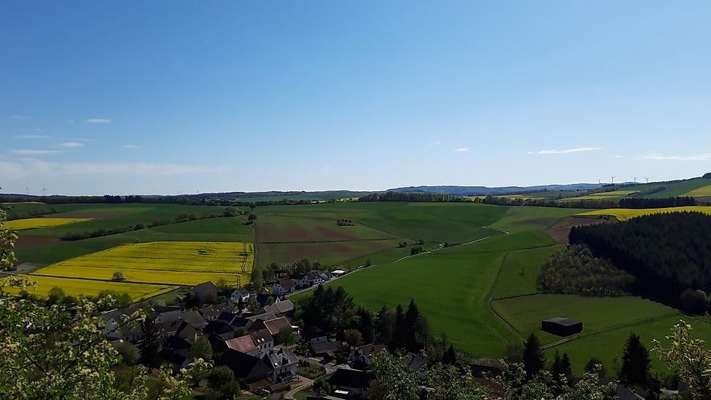
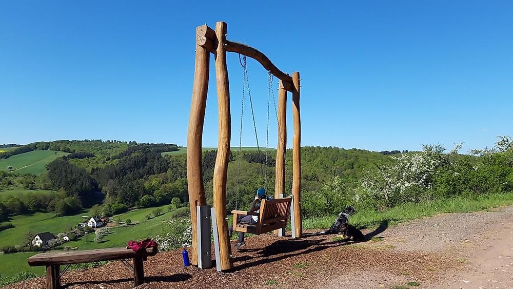
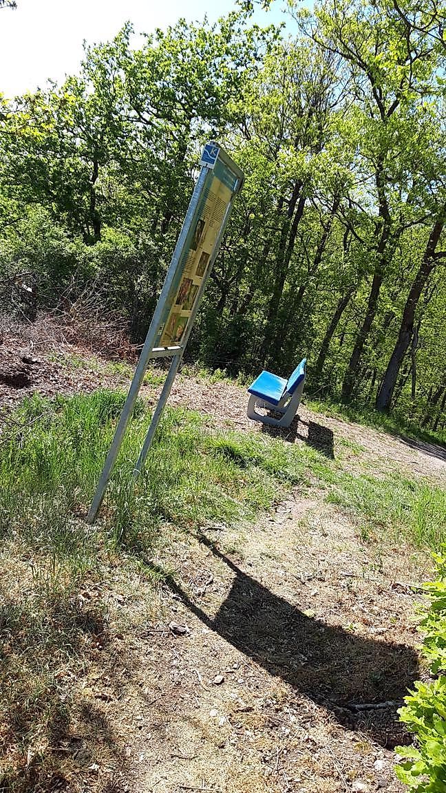
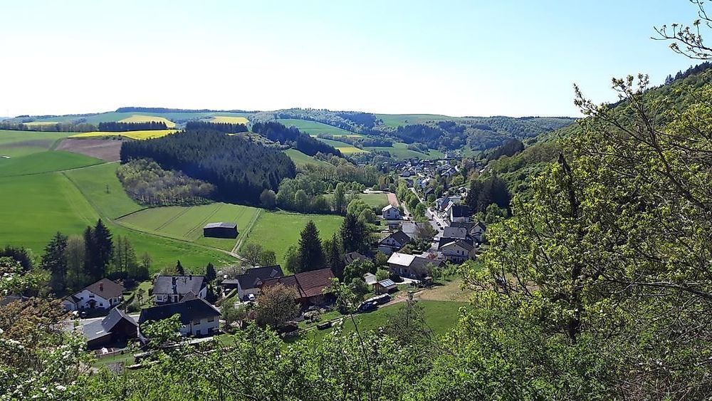
Above the former vineyards at the panoramic swing, we have a view over the district of Krebsweiler as well as into the Großbachtal towards Becherbach.

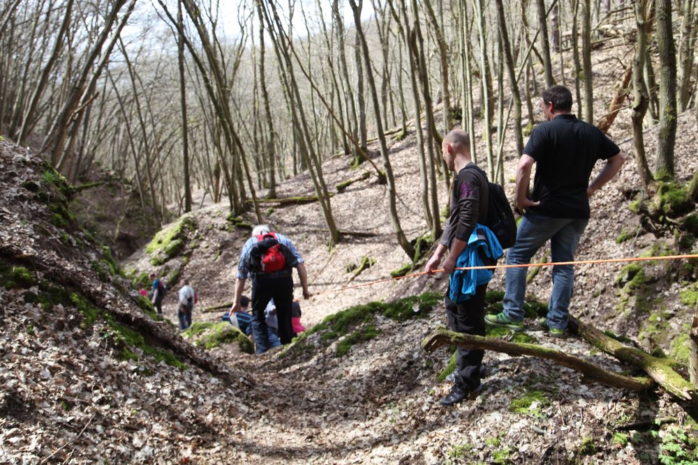
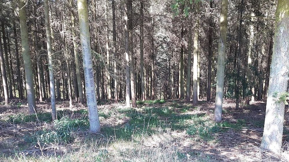
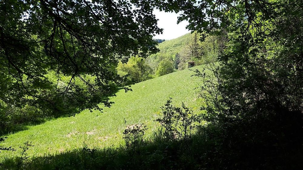
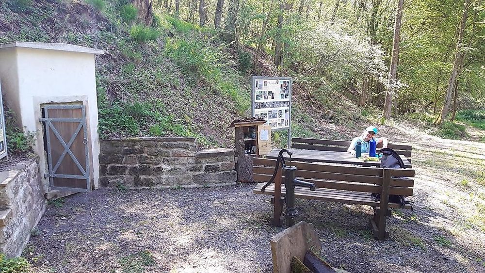
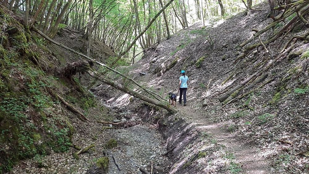
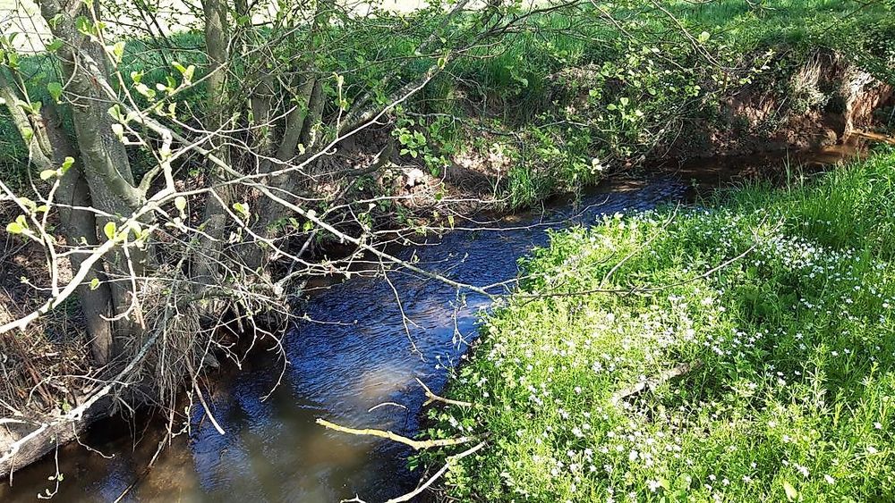
Then we continue into the forest and soon through the narrow valley of the Süßbach. Even though the Süßbach does not always carry water in the upper area, it is still a special section of the route. We reach a wooden bridge via a narrow path that leads us directly to the source of the Süßbach. Two tunnels have been driven into the rock to capture the spring.

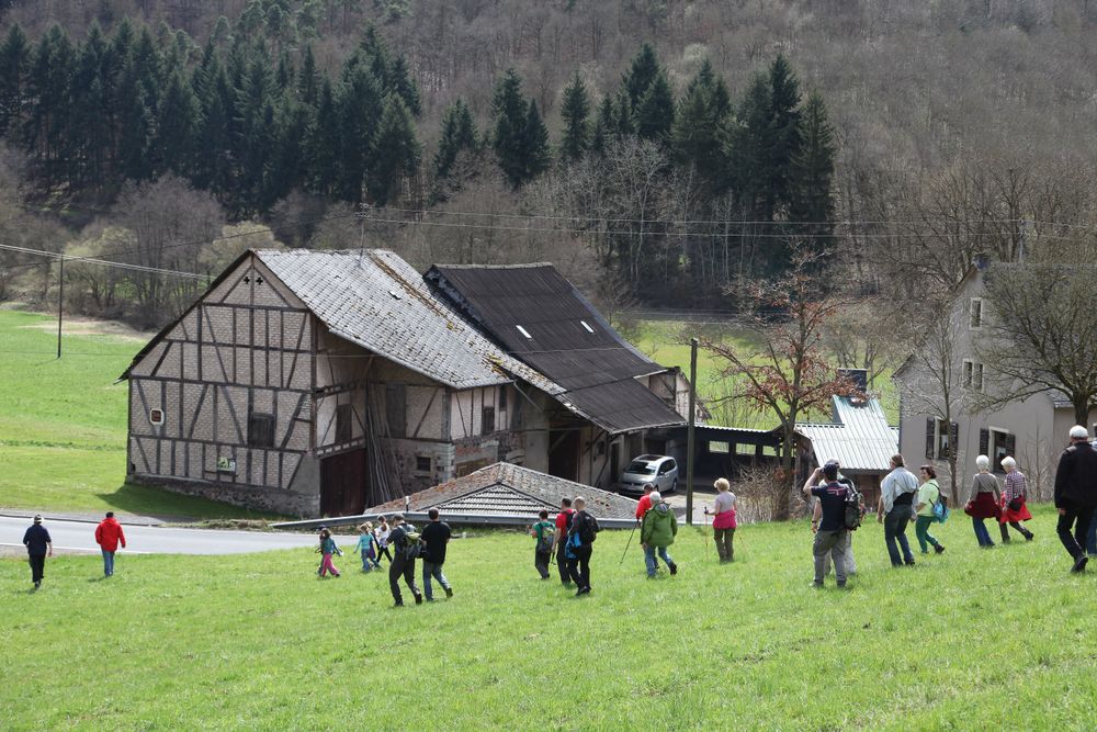
Out of the Süßbachtal, we soon see the lower Horbach mill. The mill is no longer in operation today, but on some special days of the year, there is a chance to visit the mill.

Then we take a small detour through the forest and pass by Füllmannsmühle. This mill is also no longer in operation.

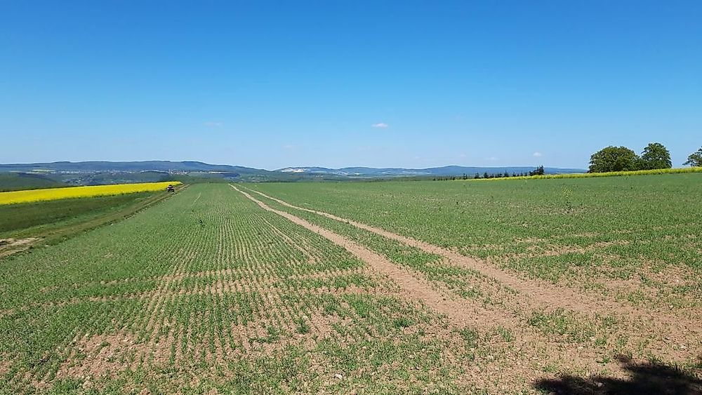
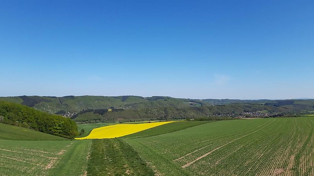
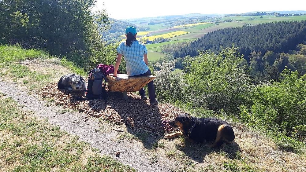
The hardest part of the path lies ahead of us now. A 2-kilometer ascent from the lowest point of the route, the bridge in the area of the mill (217m) to the highest point, the Donnersbergblick (420m) must be overcome. The efforts are rewarded with a beautiful view; on a clear day, you can see all the way to the Donnersberg, the highest mountain in the Palatinate. The next section of the route offers some relaxation; we stay on the ridge and can let our gaze wander here.

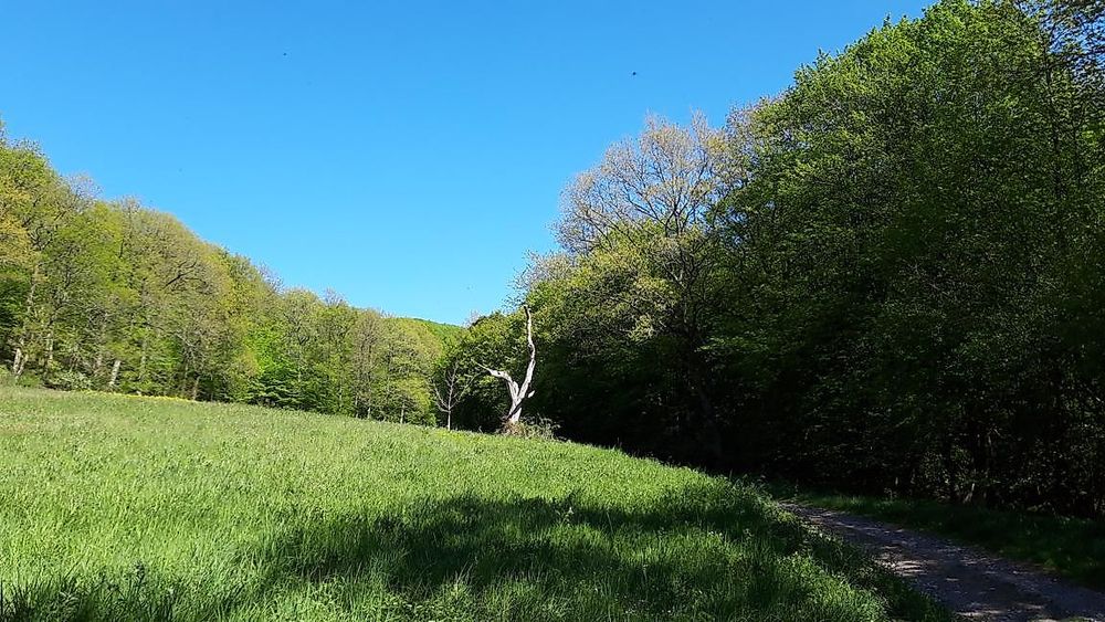
Then we go downhill into the Großbachtal, where we cross the Grobach and the K71 road to then reach the Hahneberg via a narrow path “Gäbsche”, leading us to the district of Heimberg, which we also cross to reach the former beech forests.

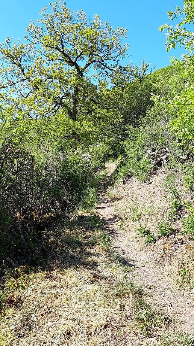
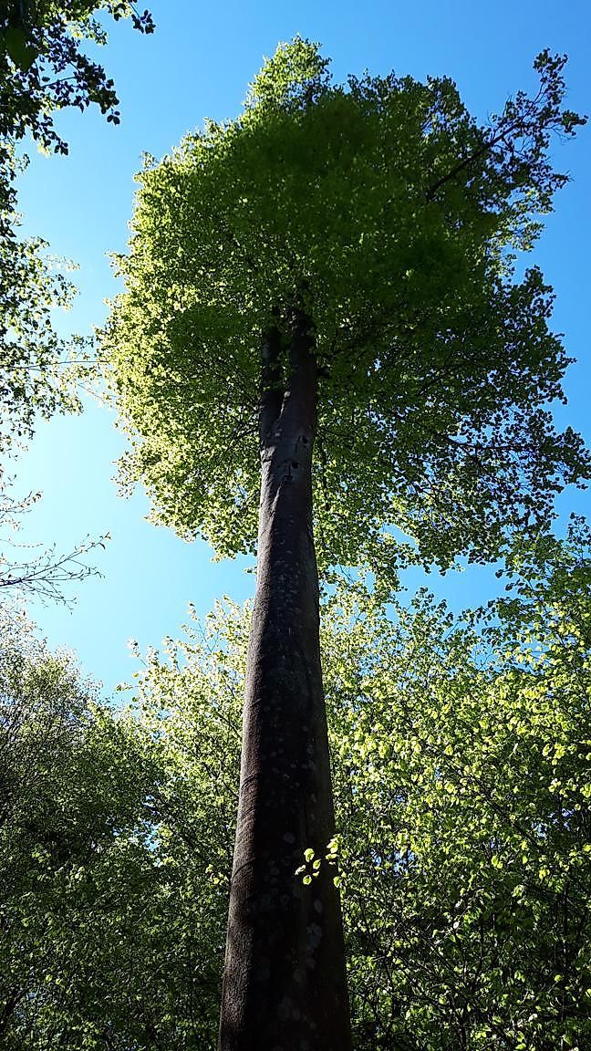
There we also enter the “Keilerpfad”. This narrow path initially takes us through a rather barren landscape that, upon closer inspection, exhibits a special diversity of species.

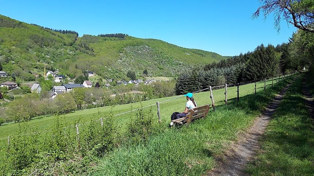
Here too, it is advisable to let your gaze wander over the valley and the village. Soon we leave the Keilerpfad and head downhill, past the community center to the village square.

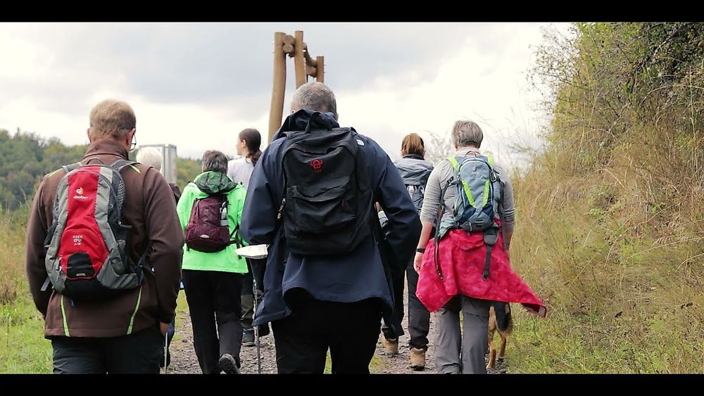
Throughout the entire route, there are options to adapt the paths to the needs of the visitors.

This means: The route can be shortened or explored in sections.

More information & GPX download

In the tour planner you will find all further information, e.g. on route changes, closures or diversions, as well as the GPX file for download.

To the tour planner (www) Download GPX