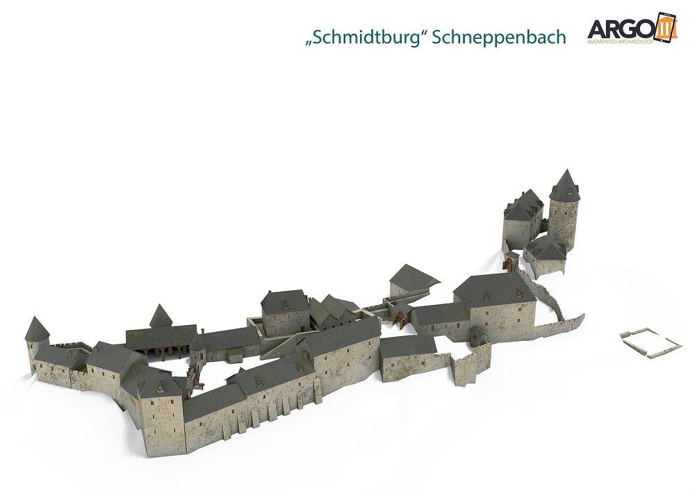
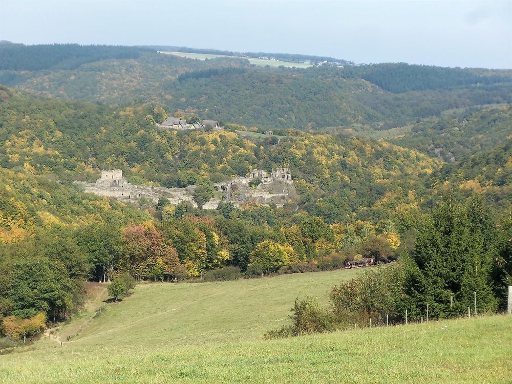
Schmidtburg Ruins

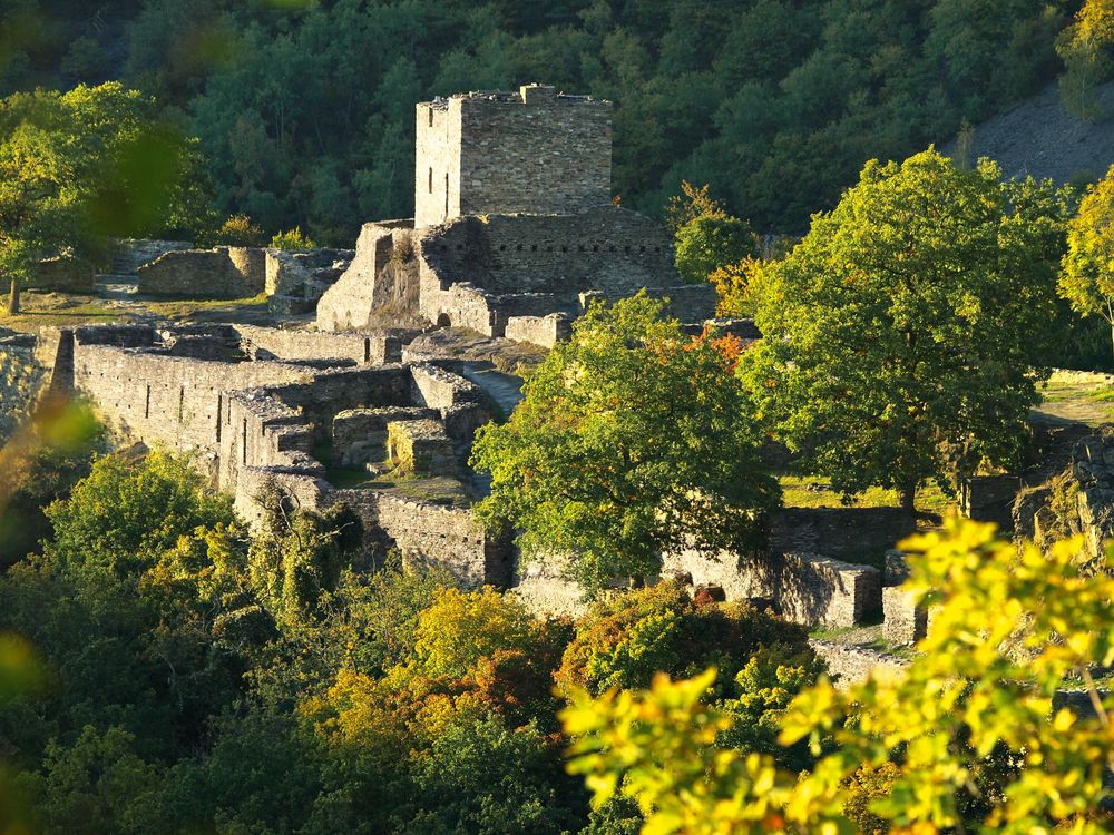
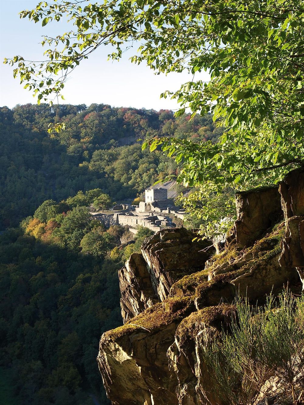
The Schmidtburg ruins are the oldest castle complex in the Nahe and Hunsrück region. Its construction...

The Schmidtburg was the ancestral seat of the counts in the Nahegau and was in wildgräflichem possession until the beginning of the 14th century. After the acquisition of the castle by Archbishop Balduin of Trier in 1324, the fortress was expanded and became a military base for the territorial politics of Kurtrier. When French pioneers blew up the site in 1688 during the Reunions Wars, the Schmidtburg lost its military significance permanently. The upper castle remained the administrative seat for the Kurtrier possessions in the Hunsrück until the end of the 18th century.

Only after extensive excavation and renovation measures in the 1970s and 80s was the size of the site, which had been almost completely reclaimed by nature, recognizable again.

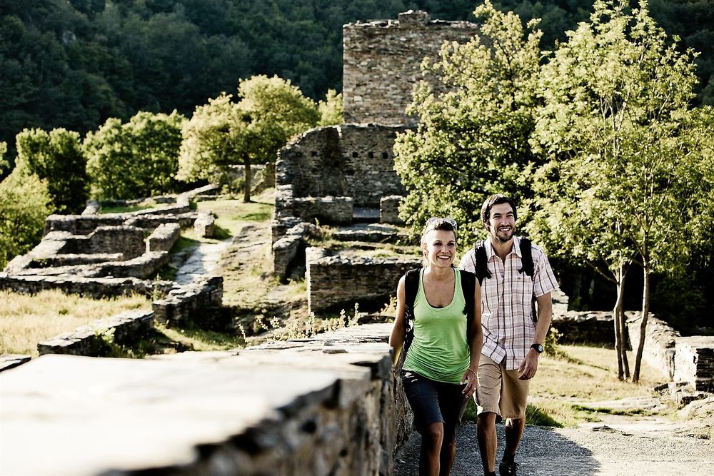
We also encounter it as a station on the Traumschleife Hahnenbachtaltour. Camping is also possible at Schmidtburg upon registration.

Ruine Schmidtburg kqa491
Ruine Schmidtburg rzmrk2
Ruine Schmidtburg 3zmgnv
Ruine Schmidtburg vfa1x7
Ruine Schmidtburg remy35
Ruine Schmidtburg 9sldrn
Ruine Schmidtburg l12acl

Categories

ARGO Excursion Excursion Tips Castle Excursion for Children Holidays at Home Historical Ruins Castles/Fortresses Sights
Opening hours

Closure of the Schmidtburg in the Hahnenbachtal – Please take note!

Due to identified danger spots, the Schmidtburg in the Hahnenbachtal must be closed immediately. The closure is necessary for safety reasons to protect visitors from potential dangers. The necessary measures to assess the situation and eliminate the dangers are being reviewed and prepared. We ask all citizens and guests for their understanding of this necessary measure. Please observe the barriers. As soon as the Schmidtburg can be reopened for visits, we will inform you accordingly.

Your local community Schneppenbach and the Verbandsgemeinde Kirner Land

Address

Friedhofstraße
55608 Schneppenbach (DE)

Coordinates

Lat: 49.845924
Long: 7.391717

More information

The Schmidtburg was the ancestral seat of the counts in the Nahegau and remained in wildgrave possession until the beginning of the 14th century. After the castle was acquired by Archbishop Balduin of Trier in 1324, the fortress was expanded and became a military base for the Kurtrier territorial policy. When French pioneers blew up the site in 1688 during the Reunions Wars, the Schmidtburg lost its military significance permanently. The upper castle remained the administrative seat for the Kurtrier possessions in the Hunsrück until the end of the 18th century.

Only after extensive excavation and renovation measures in the 1970s and 1980s was the size of the site, which had been almost completely reclaimed by nature, recognizable again.

We also encounter it as a station on the Traumschleife Hahnenbachtaltour. Camping is also possible at Schmidtburg upon registration.

The ruins of Schmidtburg are the oldest castle complex in the Nahe and Hunsrück region.

Its construction was originally motivated purely by the need for protection and dates back to the year 926.

WARNING - please pay attention!!! - Closure of Schmidtburg in Hahnenbachtal

Due to identified danger spots, Schmidtburg in Hahnenbachtal must be closed immediately. The closure is necessary for safety reasons to protect visitors from potential dangers. The necessary measures to assess the situation and eliminate the dangers are being reviewed and prepared. We ask all citizens and guests for their understanding of this necessary measure. Please observe the barriers. As soon as Schmidtburg can be reopened for visits, we will inform you accordingly.

Your local community Schneppenbach and the Verbandsgemeinde Kirner Land

ARGO Augmented Archaeology

see www.ar-route.eu


Project sponsors and team

The ARmob project (Antique Reality - mobile experience) is a transnational LEADER project aimed at promoting the rural areas of the Greater Region Eifel-Mosel-Hunsrück.

LEADER is a program of the European Union that finances innovative ideas serving the development and promotion of rural regions in Europe.

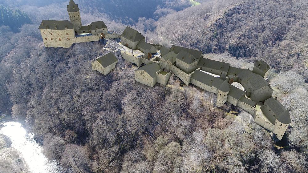
The idea of the project is to display ancient monuments through Augmented Reality (AR), meaning computer-generated models, in reality via smartphone or tablet, making them tangible for tourists, even though they have not existed for centuries. The goal is to preserve the cultural heritage of the region and present it to the public.

Nine LAGs (“LEADER” action groups) are participating in the project, six from Rhineland-Palatinate and three from Luxembourg. Leading are the LAG Hunsrück as well as the LAGs Bitburg-Prüm, Erbeskopf, Mosel, Moselfranken, Vulkaneifel, Miselerland (L), Müllerthal (L) and Letzebuerg West (L) with a total of 91 municipalities.

The municipalities in the LAGs were initially able to propose 2 to 3 monuments in their respective regions.

The project is led by the University of Trier. The participation of the states of Rhineland-Palatinate and Luxembourg was supported by the European Agricultural Fund for Rural Development (ELER) as part of the Rhineland-Palatinate development program “Environmental Measures, Rural Development, Agriculture, Nutrition” (EULLE) and the Luxembourg “Program for the Development of Rural Areas”.

The EU provided financial resources amounting to approximately 1.4 million euros, and the municipalities had to contribute a share of about 2000 to 4000 euros. Thus, the project is one of the largest LEADER projects ever.

The advantage is that after the project is completed, there are hardly any follow-up costs, as no maintenance of buildings is necessary. Only the server costs for maintaining the data will have to be paid by the municipalities starting in 2025.

The first idea emerged in 2014 through Angelika Kronenberg and Sascha Schmitz. Together with Prof. Dr. Torsten Mattern and Dr. Rosemarie Cordie, head of the Archaeological Park Vicus Belginum, they set out to realize the idea.

In 2015, an initial feasibility study was conducted and successfully completed with the help of the Geoinformatics program at the University of Trier.

In 2017, work on the project began. First, the research team gathered information about the objects by evaluating scientific literature and collaborating with the relevant authorities in Luxembourg and Rhineland-Palatinate.

Based on this information, the modeling team created digital models on the computer. These were also compared with any existing reconstruction proposals or adapted to still-existing monuments from the same era.

The programming team was responsible for programming the app and the website and had to integrate the finished models into the app.

Team

Project management: Prof. Dr. Torsten Mattern (scientific project management),

 Dr. Rosemarie Cordie (scientific project management & research management),

 Helga van der Heyde (project assistant)

Former: Ralph Arens (project management)


Research: Eva Bleser,

 Alexander Juraschka

Former: Alexander Strunk, Ulrich Lorenz, Julian Geiß


Modeling: Sascha D. Schmitz (lead),

 Max Rensch,

 Julius T. Bergau,

 Linus Stadtler,

 Irena Weiß

Former: Irina Keller


Programming: Angelika Kronenberg (lead),

 Philip Lungershausen,

 Marc Massilge,

 Patrick Stengel,

Former: Andreas Löwe, Manuel Buß, Adrian Wegener, Sebastian Frey

We thank David Liebemann from CrystalMesh for his assistance.